Near Adrian in Nobles County, Minnesota — The American Midwest (Upper Plains)
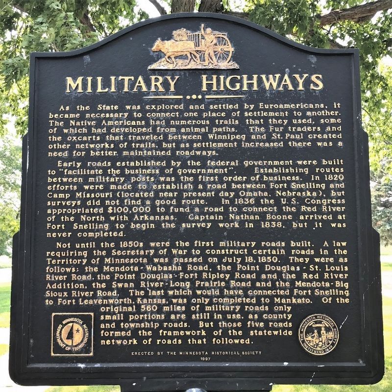
Military Highways
Early roads established by the federal government were built to "facilitate the business of government". Establishing routes between military posts was the first order of business. In 1820 efforts were made to establish a road between Fort Snelling and Camp Missouri (located near present day Omaha, Nebraska), but surveys did not find a good route. In 1836 the U.S. Congress appropriated $100,000 to fund a road to connect the Red River of the North with Arkansas. Captain Nathan Boone arrived at Fort Snelling to begin the survey work in 1838, but it was never completed.
Not until the 1850s were the first military roads built. A law requiring the Secretary of War to construct certain roads in the Territory of Minnesota was passed on July 18, 1850. They were as follows: the Mendota-Wabasha Road, the Point Douglas-St. Louis River Road, the Point Douglas-Fort Ripley Road and the Red River Addition, the Swan River-Long Prairie Road and the Mendota-Big Sioux River Road. The last which would have connected Fort Snelling to Fort Leavenworth, Kansas, was only completed to Mankato. Of the original 560 miles of military roads only small portions are still in use, as county and township roads. But those five roads formed the framework of the statewide network of roads that followed.
Erected 1997 by the Minnesota Historical Society.
Topics and series. This historical marker is listed in these topic lists: Roads & Vehicles • Settlements & Settlers. In addition, it is included in the Minnesota Historical Society series list. A significant historical date for this entry is July 18, 1850.
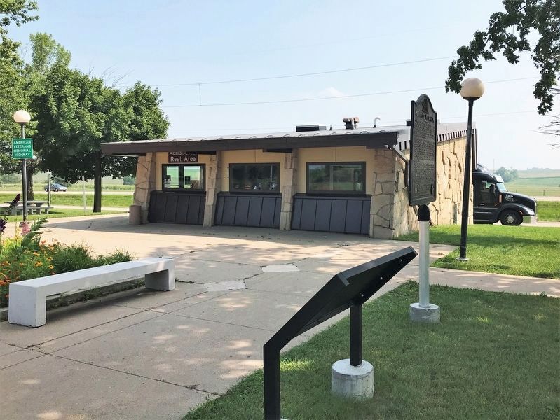
Location. 43° 38.289′ N, 95° 58.009′ W. Marker is near Adrian, Minnesota, in Nobles County. Marker can be reached from Interstate 90 at milepost 25,, 1.8 miles west of State Highway 91, on the right when traveling west. Located at Adrian Rest Area - Westbound, on Interstate 90. Touch for map. Marker is in this post office area: Adrian MN 56110, United States of America. Touch for directions.
Other nearby markers. At least 3 other markers are within walking distance of this marker. Prairie Life (a few steps from this marker); A Sea of Grass (approx. 0.7 miles away); Fire on the Prairie (approx. ¾ mile away).
More about this marker. This marker was previously located at 43° 38.219′ N, 95° 58.869′ W, at Adrian East Rest Area 2 miles west of State Highway 91, on the right when traveling east on Interstate 90.
Credits. This page was last revised on April 23, 2022. It was originally submitted on August 15, 2010, by William J. Toman of Green Lake, Wisconsin. This page has been viewed 1,582 times since then and 70 times this year. Photos: 1, 2. submitted on April 21, 2022. 3. submitted on August 15, 2010, by William J. Toman of Green Lake, Wisconsin. • Bill Pfingsten was the editor who published this page.


