Near Bunker Hill in Jefferson County, West Virginia — The American South (Appalachia)
Jefferson County / Berkeley County
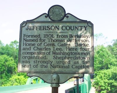
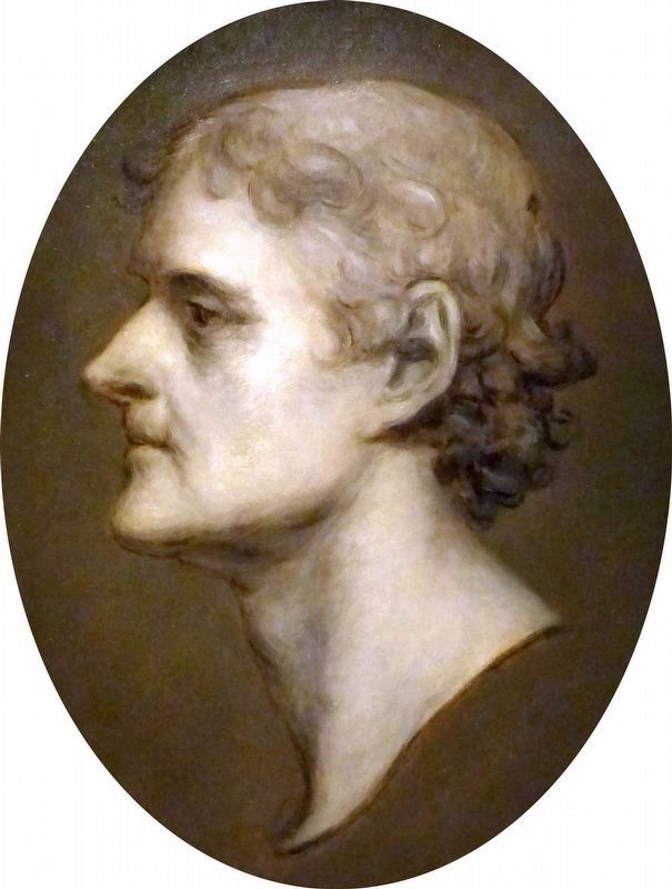
Jefferson County. Formed, 1801, from Berkeley. Named for Thomas Jefferson. Home of Gens. Gates, Darke, and Charles Lee. Here four companies of Washington’s men organized. Shepherdstown was strongly urged as the seat of the National Capitol.
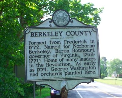
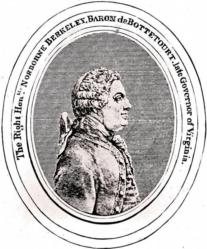
Berkeley County. Formed from Frederick in 1772. Named for Norborne Berkeley, Baron Botetourt, governor of Virginia, 1768–1770. Home of many leaders in the Revolution. As early as 1774, George Washington had orchards planted here.
Erected 1974 by West Virginia Department of Archives and History.
Topics and series. This historical marker is listed in these topic lists: Political Subdivisions • War, US Revolutionary. In addition, it is included in the West Virginia Archives and History series list. A significant historical year for this entry is 1801.
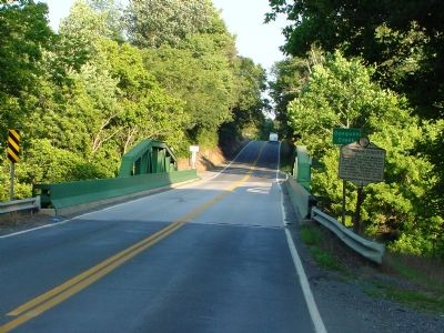
Location. Marker is missing. It was located near 39° 19.183′ N, 77° 59.317′ W. Marker was near Bunker Hill, West Virginia, in Jefferson County. Marker was on Washington Heritage Trail (West Virginia Route 51) near the Opequon Creek Bridge, on the right when traveling east. Touch for map. Marker was in this post office area: Bunker Hill WV 25413, United States of America. Touch for directions.
Other nearby markers. At least 8 other markers are within 4 miles of this location, measured as the crow flies . Wizard Clip (approx. 0.9 miles away); The Gilbert House (approx. 1.1 miles away); Union Church Cemetery (approx. 1.2 miles away); Masonic Hall (approx. 1.2 miles away); "Prato Rio" (approx. 3.4 miles away); Col. Morgan Morgan (approx. 3.6 miles away); Cedar Lawn (approx. 3.7 miles away); James Johnston Pettigrew Monument (approx. 3.7 miles away). Touch for a list and map of all markers in Bunker Hill.
Credits. This page was last revised on May 9, 2022. It was originally submitted on November 11, 2007, by Tom Fuchs of Greenbelt, Maryland. This page has been viewed 1,668 times since then and 14 times this year. Photos: 1, 2. submitted on November 11, 2007, by Tom Fuchs of Greenbelt, Maryland. 3. submitted on November 11, 2007, by J. J. Prats of Powell, Ohio. 4, 5. submitted on October 11, 2020, by Allen C. Browne of Silver Spring, Maryland.
