Near Richmond in Henrico County, Virginia — The American South (Mid-Atlantic)
Seven Days' Battles Begin
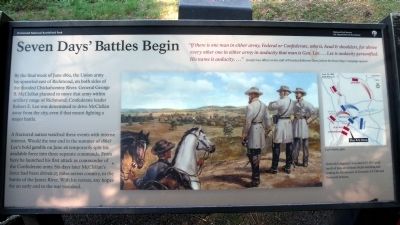
A fractured nation watched these events with intense interest. Would the war end in the summer of 1862? Lee’s bold gamble on June 26 temporarily split his available force into three separate commands. From here he launched his first attack as commander of the Confederate army. Six days later McClellan’s force had been driven 25 miles across the country, to the banks of the James River. With his retreat, any hopes for an early end to the war vanished.
“If there is one man in either army, Federal or Confederate, who is, head & shoulders, far above every other one in either army in audacity that man is Gen. Lee….Lee is audacity personified. His name is audacity….”
Joseph Ives, officer on the staff of President Jefferson Davis, before the Seven Days’ Campaign opened
Erected 2010 by Richmond National Battlefield Park.
Topics. This historical marker is listed in this topic list: War, US Civil. A significant historical month for this entry is June 1862.
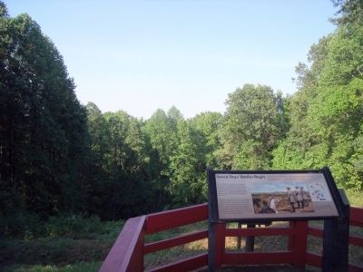
Location. 37° 35.107′ N, 77° 23.348′ W. Marker is near Richmond, Virginia, in Henrico County. Marker can be reached from Mechanicsville Turnpike (U.S. 360) near Springdale Road, on the right when traveling east. Touch for map. Marker is at or near this postal address: 4300 Mechanicsville Turnpike, Richmond VA 23223, United States of America. Touch for directions.
Other nearby markers. At least 8 other markers are within 2 miles of this marker, measured as the crow flies. Defending Richmond (within shouting distance of this marker); Chickahominy Bluff (within shouting distance of this marker); Outer Fortifications (approx. 0.2 miles away); Hanover County / Henrico County (approx. 0.4 miles away); The Chickahominy River & Seven Days' Battles (approx. 0.4 miles away); Seven Days Battles (approx. 1.4 miles away); John Marshall's Farm (approx. 1.6 miles away); a different marker also named Seven Days’ Battles (approx. 1.6 miles away). Touch for a list and map of all markers in Richmond.
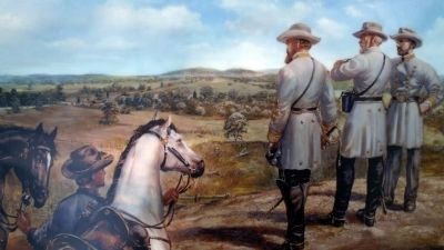
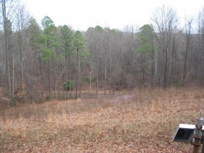
More about this marker. In the center is a painting with the caption, "Generals Longstreet, Lee and D.H. Hill spent much of June 26 on these bluffs watching and waiting for the advance of General A.P. Hill and Stonewall Jackson."
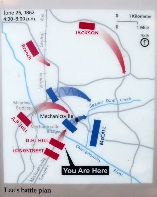
On the right is a map of "Lee's battle plan".
Related marker. Click here for another marker that is related to this marker. Old Marker At This Location titled "The Seven Days Begin".
Also see . . . Richmond National Battlefield Park. (Submitted on August 21, 2010.)
Credits. This page was last revised on November 5, 2021. It was originally submitted on August 21, 2010, by Bernard Fisher of Richmond, Virginia. This page has been viewed 1,367 times since then and 19 times this year. Photos: 1, 2, 3, 4. submitted on August 21, 2010, by Bernard Fisher of Richmond, Virginia. 5. submitted on March 25, 2018, by Pete Payette of Orange, Virginia. 6. submitted on February 28, 2011, by Craig Swain of Leesburg, Virginia. 7. submitted on August 21, 2010, by Bernard Fisher of Richmond, Virginia.
