Tallulah in Madison Parish, Louisiana — The American South (West South Central)
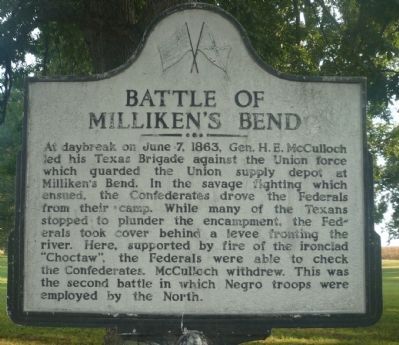
Battle of Millikenís Bend
At daybreak on June 7, 1863, Gen. H. E. McCulloch led his Texas Brigade against the Union force which guarded the Union supply depot at Millikenís Bend. In the savage fighting which ensued, the Confederates drove the Federals from their camp. While many of the Texans stopped to plunder the encampment, the Federals took cover behind a levee fronting the river. Here, supported by fire of the ironclad ďChoctawĒ, the Federals were able to check the Confederates. McCulloch withdrew. This was the second battle in which Negro troops were employed by the North.
Erected 1962 by Louisiana Civil War Centennial Commission.
Topics and series. This historical marker is listed in these topic lists: African Americans • War, US Civil • Waterways & Vessels. In addition, it is included in the Grantís March Through Louisiana series list. A significant historical date for this entry is June 7, 1863.
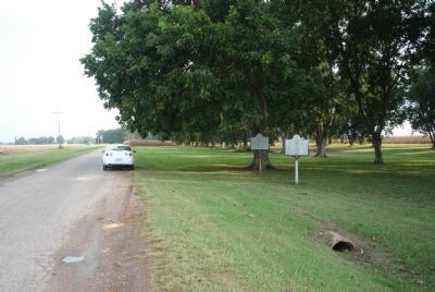
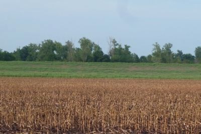
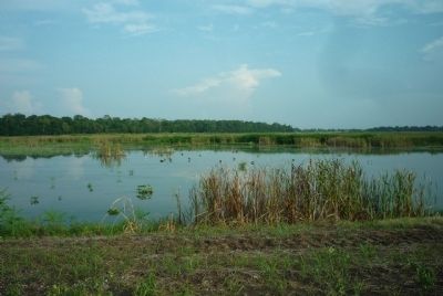
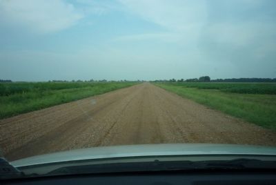
Location. Marker is missing. It was located near 32° 26.296′ N, 91° 7.396′ W. Marker was in Tallulah, Louisiana, in Madison Parish. Marker was at the intersection of Thomastown Road and Ashley Plantation Road, on the left when traveling north on Thomastown Road. Marker was accessible north of I-20 and US Hwy 60 via the town of Tallulah and US 65 to Ashley Plantation Road - or via the town of Richmond and Airport Road to Thomastown Road. Touch for map. Marker was in this post office area: Tallulah LA 71282, United States of America. Touch for directions.
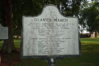
Other nearby markers. At least 8 other markers are within 7 miles of this location, measured as the crow flies. Grantís March (here, next to this marker); Rufus "RIP" Wimberly (approx. 4.3 miles away); Madison Parish Confederate Monument (approx. 4.3 miles away); Tallulah (approx. 4.3 miles away); Schicker Mound (approx. 4.8 miles away); Scottland Plantation House (approx. 4.9 miles away); Crescent Plantation (approx. 5.3 miles away); Burning of Richmond (approx. 6.3 miles away). Touch for a list and map of all markers in Tallulah.
More about this marker. The Milliken's Bend marker appeared to be the first in a series commemorating General Grant's 1863 campaign in northern Louisiana. In January 2023 it was reported missing. Only the pole remains.
Also see . . . Milliken's Bend: The Central Role of Black Troops in the Seige of Vicksburg. Wayback Machine archive:
"... Left behind at Milliken's Bend were 1410 soldiers, only 160 of them white (i.e., the 23rd Iowa regiment). The rest were three newly recruited Black Regiments---The First Mississippi (African Descent) and the Ninth and Eleventh Louisiana (Corps d' Afrique, or African Corps)." (Submitted on August 24, 2010, by Richard E. Miller of Oxon Hill, Maryland.)
Additional keywords. U.S. Colored Troops; USCT; 23rd Iowa; 1st Mississippi (A.D.); 9th and 11th Louisiana (Corps d' Afrique); Vicksburg Campaign; Mississippi River; U.S. Navy.
Credits. This page was last revised on January 23, 2023. It was originally submitted on August 23, 2010, by Richard E. Miller of Oxon Hill, Maryland. This page has been viewed 3,466 times since then and 68 times this year. Photos: 1, 2, 3, 4, 5. submitted on August 23, 2010, by Richard E. Miller of Oxon Hill, Maryland. 6, 7. submitted on August 24, 2010, by Richard E. Miller of Oxon Hill, Maryland. • Craig Swain was the editor who published this page.
