Niagara Falls in Niagara Region, Ontario — Central Canada (North America)
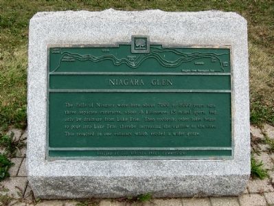
Niagara Glen
Erected by Niagara Parks Commission.
Topics. This historical marker is listed in this topic list: Natural Features.
Location. 43° 7.776′ N, 79° 3.638′ W. Marker is in Niagara Falls, Ontario, in Niagara Region. Marker is at the intersection of Niagara Parkway and Whirlpool Road, on the right when traveling south on Niagara Parkway. Touch for map. Marker is in this post office area: Niagara Falls ON L2E 6T2, Canada. Touch for directions.
Other nearby markers. At least 8 other markers are within walking distance of this marker. Thompson Point (approx. one kilometer away); Welcome to Whirlpool State Park (approx. 1.1 kilometers away in the U.S.); Challenging the Whirlpool Rapids (approx. 1.1 kilometers away in the U.S.); Niagara Gorge Natural History (approx. 1.1 kilometers away in the U.S.); Devil's Hole State Park (approx. 1.2 kilometers away in the U.S.); Eddy Basin (approx. 1.2 kilometers away in the U.S.); Whirlpool Rapids (approx. 1.2 kilometers away in the U.S.); Niagara Spanish Aero Car (approx. 1.4 kilometers away). Touch for a list and map of all markers in Niagara Falls.
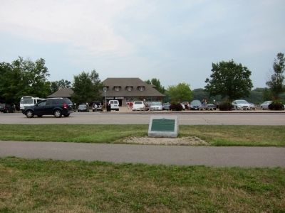
More about this marker. The marker is mounted on a low stone base on the west side of the Niagara Parkway, directly opposite the parking lot entrance of the Niagara Glen Nature Preserve visitor center.
Also see . . . Niagara Glen & Whirlpool. NiagaraParks.com's web page for the Niagara Glen Nature Preserve. (Submitted on August 24, 2010.)

Photographed By Andrew Ruppenstein, August 21, 2010
3. The Niagara River Gorge
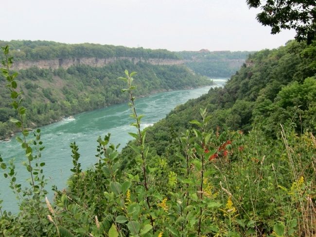
This view, taken from behind the visitor center, looks southwards up the Niagara River, with New York State on the opposite shore. Niagara Falls was located here some 7,000 to 8,000 years ago, but the erosive power of the waters has moved the falls some 7 kilometers south of the marker site.
Credits. This page was last revised on September 27, 2019. It was originally submitted on August 24, 2010, by Andrew Ruppenstein of Lamorinda, California. This page has been viewed 898 times since then and 8 times this year. Photos: 1, 2, 3. submitted on August 24, 2010, by Andrew Ruppenstein of Lamorinda, California. • Syd Whittle was the editor who published this page.

