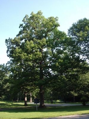
Near West Lafayette in Tippecanoe County, Indiana — The American Midwest (Great Lakes)
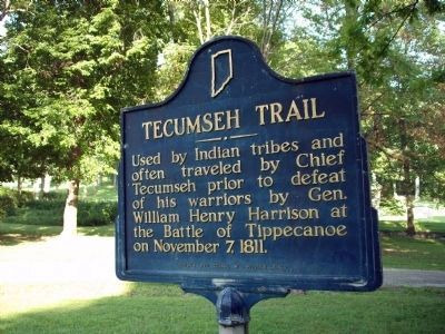
Tecumseh Trail
Erected 1953 by Women's Civic Council of Tippecanoe County. (Marker Number 79.1953.1.)
Topics and series. This historical marker is listed in these topic lists: Native Americans • Wars, US Indian. In addition, it is included in the Former U.S. Presidents: #09 William Henry Harrison, and the Indiana Historical Bureau Markers series lists. A significant historical date for this entry is November 7, 1811.
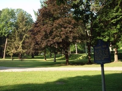
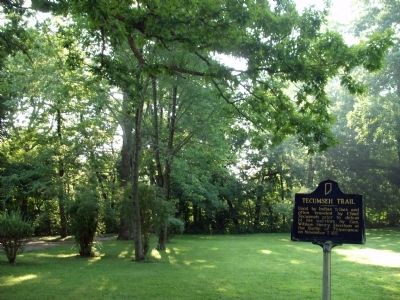
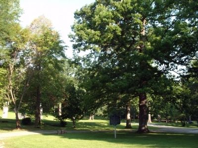
Location. 40° 28.374′ N, 86° 53.044′ W. Marker is near West Lafayette, Indiana, in Tippecanoe County. Marker is on North River Road (a.k.a.: Indiana 43) south of Soldiers Home Road, on the left when traveling south. Located across the road from the "Veterans Home" in an excellent road side park. Touch for map. Marker is in this post office area: West Lafayette IN 47906, United States of America. Touch for directions.
Other nearby markers. At least 8 other markers are within 4 miles of this marker, measured as the crow flies. Prophet’s Rock (approx. 2.8 miles away); Tippecanoe Battlefield Memorial (approx. 3.1 miles away); Stricken Down in the Performance of Duty (approx. 3.1 miles away); Potawatomi ‘Trail of Death’ Route (approx. 3.1 miles away); The Battle of Tippecanoe (approx. 3.1 miles away); The Methodist Camp (approx. 3.2 miles away); William Henry Harrison Memorial Bridge (approx. 3.3 miles away); Prophet’s Town (approx. 3˝ miles away).
Also see . . . Biography of Shawnee Chief Tecumseh 1768-1813. (Submitted on August 12, 2010, by Bill Pfingsten of Bel Air, Maryland.)
Credits. This page was last revised on November 18, 2020. It was originally submitted on August 9, 2010, by Al Wolf of Veedersburg, Indiana. This page has been viewed 1,465 times since then and 38 times this year. Last updated on August 26, 2010, by Al Wolf of Veedersburg, Indiana. Photos: 1, 2, 3, 4, 5. submitted on August 9, 2010, by Al Wolf of Veedersburg, Indiana. • Kevin W. was the editor who published this page.
