Bellefontaine in Logan County, Ohio — The American Midwest (Great Lakes)
McKee's Town
Logan County, On Top of Ohio
Inscription.
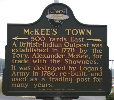
[North Side of Marker]
<— 500 Yards East —«
A British-Indian Outpost was established in 1778 by the Tory, Alexander McKee, for trade with the Shawnees.
It was destroyed by Logan's Army in 1786, re-built, and used as a trading post for many years.
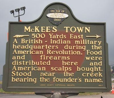
[South Side of Marker]
»— 500 Yards East —>
A British-Indian military headquarters during the American Revolution. Food and firearms were distributed here and American scalps bought. Stood near the creek bearing the founder's name.
Erected 1947 by Logan County Historical Society.
Topics. This historical marker is listed in these topic lists: Native Americans • War, US Revolutionary • Wars, US Indian. A significant historical year for this entry is 1778.
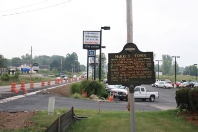
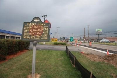
Location. 40° 19.589′ N, 83° 45.677′ W. Marker is in Bellefontaine, Ohio, in Logan County. Marker is on U.S. 68 south of McKeestown Road, on the right when traveling south. Touch for map. Marker is in this post office area: Bellefontaine OH 43311, United States of America. Touch for directions.
Other nearby markers. At least 8 other markers are within 3 miles of this marker, measured as the crow flies. Gunn's Tavern / Trading Post (approx. one mile away); Bellefontaine High School Veterans Memorial (approx. 1.6 miles away); Hull's Army (approx. 1.7 miles away); The Home of Blue Jacket (approx. 2.2 miles away); The Patterson Block (approx. 2.3 miles away); Lewis R. Ratleff Park (approx. 2.3 miles away); The Shirk’s Logan Tire Co. (approx. 2.3 miles away); The Bellefontaine Examiner (approx. 2.3 miles away). Touch for a list and map of all markers in Bellefontaine.
Credits. This page was last revised on June 16, 2016. It was originally submitted on August 28, 2010, by Dale K. Benington of Toledo, Ohio. This page has been viewed 1,867 times since then and 71 times this year. Photos: 1, 2, 3, 4. submitted on August 28, 2010, by Dale K. Benington of Toledo, Ohio.


