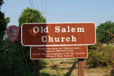
Near Fredericksburg in Spotsylvania County, Virginia — The American South (Mid-Atlantic)
Salem Church
The Battle of Salem Church
— Fredericksburg and Spotsylvania National Military Park —
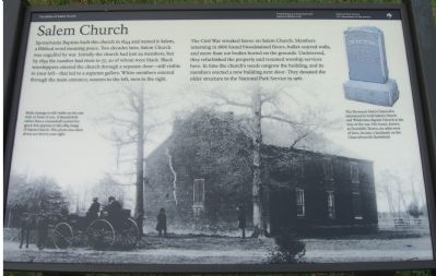
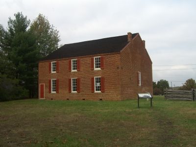
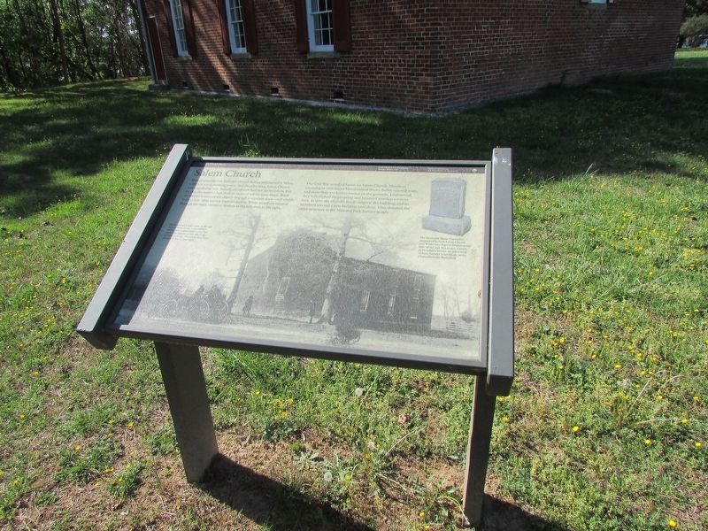
Spotsylvania Baptists built this church in 1844 and named it Salem, a Biblical word meaning peace. Two decades later, Salem Church was engulfed by war. Initially the church had just 29 members, but by 1859 the number had risen to 77, 20 of whom were black. Black worshippers entered the church through a separate door – still visible to your left – that led to a separate gallery. White members entered through the main entrance, women to the left, men to the right.
The Civil War wreaked havoc on Salem Church. Members returning in 1866 found bloodstained floors, bullet-scarred walls, and more than 100 bodies buried on the grounds. Undeterred, they refurbished the property and resumed worship services here. In time the church’s needs outgrew the building, and its members erected a new building next door. They donated the older structure to the National Park Service in 1961.
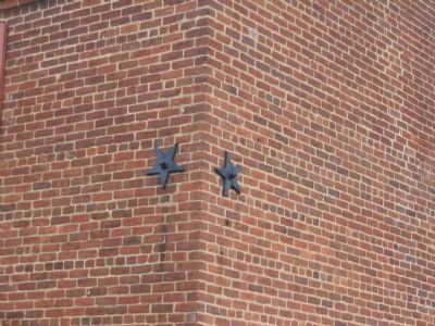
(Caption, main picture): Battle damage is still visible on the east wall, in front of you. A thunderbolt rather than a cannonball created the crack that appears in this 1884 image of Salem Church. This photo was taken about 200 feet to your right.
(Caption, upper right picture ): The Reverend Melzi Chancellor ministered to both Salem Church and Wilderness Baptist Church at the time of the war. His house, known as Dowdall’s Tavern, sixe miles west of here, became a landmark on the Chancellorsville Battlefield.
Erected by National Park Service, U.S. Department of the Interior.
Topics and series. This historical marker is listed in these topic lists: African Americans • Churches & Religion • Military • War, US Civil. In addition, it is included in the Battlefield Trails - Civil War series list. A significant historical year for this entry is 1844.
Location. 38° 17.322′ N, 77° 31.853′ W. Marker is near Fredericksburg, Virginia, in Spotsylvania County. Marker can be reached from Old Salem Church Road near Plank Road (Virginia Route 3). Touch for map. Marker is at or near this postal address: 4054 Plank Rd, Fredericksburg VA 22407, United States of America. Touch for directions.
Other nearby markers. At least 8 other markers are within walking distance of this marker. Old Salem Church (here, next to this marker); Refuge from Horror (within shouting distance of this marker); Churchyard to Battleground (within shouting distance of this marker); Sanctuaries in Spotsylvania (within shouting distance of this marker); For All Anguish – For Some Freedom (within shouting distance of this marker); The Battle of Salem Church (within shouting distance of this marker); From Church to Hospital (within shouting distance of this marker); a different marker also named Battle of Salem Church (within shouting distance of this marker). Touch for a list and map of all markers in Fredericksburg.
Regarding Salem Church. Salem Church was an important landmark during the Chancellorsville Campaign, May-June 1863, culminating in a battle fought on the site on 3-4 May. While much of the battlefield has been covered with modern development, several markers and monuments stand to tell the story. These are linked on the Related Markers section below.
Related markers. Click here for a list of markers that are related to this marker. Virtual Tour by Markers of at Salem Church.
Also see . . . Other Chancellorsville "Virtual Tour by Markers" Sets. (Submitted on November 12, 2007, by Craig Swain of Leesburg, Virginia.)
Credits. This page was last revised on April 25, 2023. It was originally submitted on November 12, 2007, by Kevin W. of Stafford, Virginia. This page has been viewed 2,342 times since then and 28 times this year. Photos: 1, 2. submitted on November 12, 2007, by Kevin W. of Stafford, Virginia. 3. submitted on April 24, 2023, by Bill Coughlin of Woodland Park, New Jersey. 4. submitted on November 12, 2007, by Craig Swain of Leesburg, Virginia. 5. submitted on July 25, 2015, by Brandon Fletcher of Chattanooga, Tennessee.
