West Jordan in Salt Lake County, Utah — The American Mountains (Southwest)
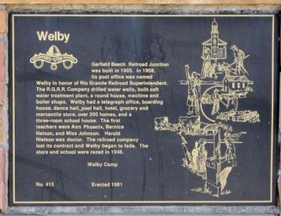
Welby
Erected 1981 by Daughters of the Utah Pioneers, Welby Camp. (Marker Number 413.)
Topics. This historical marker is listed in these topic lists: Education • Railroads & Streetcars • Settlements & Settlers. A significant historical year for this entry is 1905.
Location. 40° 35.269′ N, 111° 59.566′ W. Marker is in West Jordan, Utah, in Salt Lake County. Marker is at the intersection of West Old Bingham Highway and 9000 South (Utah Highway 209), on the left when traveling west on West Old Bingham Highway. Touch for map. Marker is in this post office area: West Jordan UT 84088, United States of America. Touch for directions.
Other nearby markers. At least 8 other markers are within 4 miles of this marker, measured as the crow flies. Salt Lake and Utah Railroad (approx. 2.9 miles away); Utah Idaho Sugar Factory (approx. 2.9 miles away); The Grove (approx. 3.8 miles away); Irrigation (approx. 3.8 miles away); Garside/McMullin House (approx. 3.8 miles away); West Jordan Pioneer Church (approx. 3.8 miles away); West Jordan (approx. 3.8 miles away); The Samuel Elijah Holt Farm (approx. 3.8 miles away). Touch for a list and map of all markers in West Jordan.
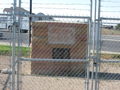
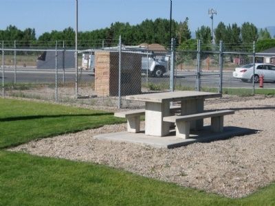
More about this marker. Marker is located in a small park, with a small off-street parking area on the southeast corner of the junction where Old Bingham Highway intersects 9000 South at a 60 degree (approx.) angle. The park is immediately west of the railroad crossing on 9000 South. The marker is kept in a locked fenced area.
Credits. This page was last revised on October 14, 2020. It was originally submitted on August 17, 2010, by Jack Duffy of West Jordan, Utah. This page has been viewed 1,573 times since then and 66 times this year. Last updated on August 29, 2010, by Bryan R. Bauer of Kearns, Ut 84118. Photos: 1, 2, 3. submitted on August 17, 2010, by Jack Duffy of West Jordan, Utah. • Kevin W. was the editor who published this page.


