Near Winchester in Frederick County, Virginia — The American South (Mid-Atlantic)
The Order for Retreat
Photographed By Craig Swain, October 20, 2007
1. The Order for Retreat Marker
A Virtual Tour of the Battle of Kearnstown by HMDb markers.
Click for more information.
Click for more information.
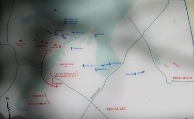
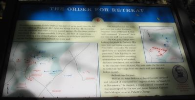
Northern commander Colonel Nathan Kimball 1.5 miles away (over the hill on your right) on Prichard's Hill faced the threat of defeat. He decided to seize the initiative and order a second assault against the Southern artillery atop Sandy Ridge. At approximately 5:00 p.m., the first of these troops arrived, causing some of the Southern artillery to withdraw and threatening the Southern right flank behind the stone wall.
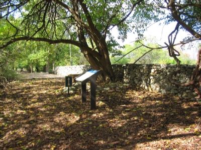
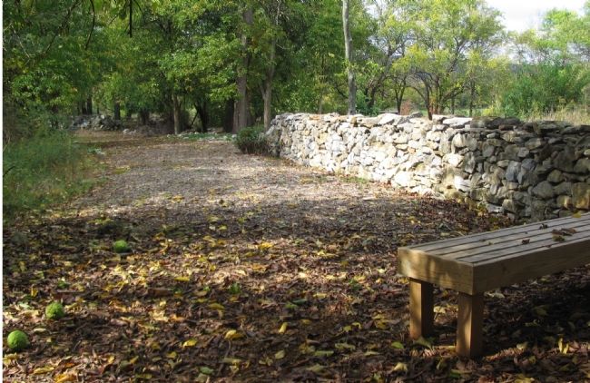
The troops behind the stone wall were now under Southern Brigadier General Richard B. Garnett's command. "Stonewall" Jackson was not near the front lines.
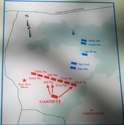
By 6:00 p.m., things were looking desperate to Garnett. His men were gathering ammunition from fallen comrades. He encouraged them to "aim low and pick your men." Now fighting in two directions, casualties mounting, ammunition nearly exhausted, darkness imminent, and no orders to the contrary from Jackson, Garnett made the decision to withdraw his troops from the stone wall just minutes before sunset.
Jackson was furious.
Within ten days Jackson ordered Garnett arrested and relieved of command for "neglect of duty on March 23 at Kernstown." In August, a court-martial convened but was interrupted by the war and never finished. Garnet died riding a horse in Pickett's Charge.
Topics. This historical marker is listed in this topic list: War, US Civil . A significant historical month for this entry is March 1844.
Location. 39° 9.222′ N, 78° 12.911′ W. Marker is near Winchester, Virginia, in Frederick County. Marker can be reached from Jones Road (County Route 621), on the right when traveling north. Located at stop six of the walking tour of Rose Hill. See the link to the Museum of the Shenandoah for details about visiting Rose Hill. Touch for map. Marker is at or near this postal address: 1985 Jones Road, Winchester VA 22602, United States of America. Touch for directions.
Other nearby markers. At least 8 other markers are within walking distance of this marker. The Advance of Tyler’s Brigade (about 400 feet away, measured in a direct line); Northern Victory, Southern Defeat (about 600 feet away); The Defense of the Stone Wall (about 700 feet away); Fight for the High Ground (approx. 0.2 miles away); The First Battle Of Kernstown (approx. ¼ mile away); Rose Hill (approx. ¼ mile away); War In The Backyard (approx. ¼ mile away); How To See the Battlefield (approx. ¼ mile away). Touch for a list and map of all markers in Winchester.
More about this marker. On the left side of the marker is a large map showing the situation around sunset on the day of the battle. On the right is a detailed map showing the arrangement of Garnett's forces. A portrait of "Southern Brig. Gen. Richard B. Garnett in a pre-war photograph," is below the map.
Regarding The Order for Retreat.
This is one of seven battlefield interpretive markers at Rose Hill. See the related markers section below for a listing of the walking tour, or the Kernstown Battles Virtual Tour by Markers in the links section for a driving tour.
Related markers. Click here for a list of markers that are related to this marker. To better understand the relationship, study each marker in the order shown.
Also see . . .
1. Rose Hill Park. Museum of the Shenandoah website entry (Submitted on November 12, 2007, by Craig Swain of Leesburg, Virginia.)
2. Battle of First Kernstown Summary. The action around Rose Hill is discussed in phase three of this National Parks Service battle summary. (Submitted on November 12, 2007, by Craig Swain of Leesburg, Virginia.)
Credits. This page was last revised on July 7, 2022. It was originally submitted on November 12, 2007, by Craig Swain of Leesburg, Virginia. This page has been viewed 1,388 times since then and 20 times this year. Photos: 1, 2, 3, 4, 5. submitted on November 12, 2007, by Craig Swain of Leesburg, Virginia.
