Bingham Canyon near Copperton in Salt Lake County, Utah — The American Mountains (Southwest)
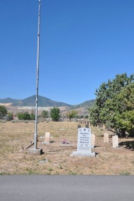
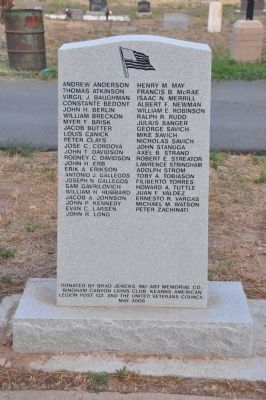
Bingham City Cemetery Veterans Memorial
City
Cemetery
Veterans
Memorial
Civil War, Spanish American War,
World War I, World War II,
Korean War, Vietnam War
Erected 2008 by Brad Jencks, Nu-Art Memorial Company, Bingham Canyon Lions Club, Kearns American Legion Post 132, and the United Veterans Council.
Topics. This memorial is listed in these topic lists: War, Korean • War, US Civil • War, Vietnam • War, World I.
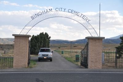
Location. 40° 33.96′ N, 112° 4.83′ W. Marker is near Copperton, Utah, in Salt Lake County. It is in Bingham Canyon. Memorial can be reached from Old Bingham Highway, 0.9 miles west of State Highway 111, on the left when traveling west. The marker is just inside the gate to the cemetery, on the right. Touch for map. Marker is in this post office area: Bingham Canyon UT 84006, United States of America. Touch for directions.
Other nearby markers. At least 8 other markers are within 5 miles of this marker, measured as the crow flies. Copperton Community Methodist Church (approx. 0.8 miles away); Honoring with Glory (approx. one mile away); Bingham Tunnel (approx. 3.3 miles away); Bingham Canyon (approx. 3.9 miles away); Fort Herriman (approx. 4 miles away); The Town of Bingham Canyon (approx. 4.1 miles away); Stamp Mill Foundation (approx. 4.1 miles away); Pioneer Rock Church (approx. 4.3 miles away). Touch for a list and map of all markers in Copperton.
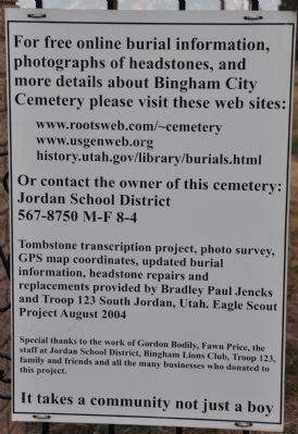
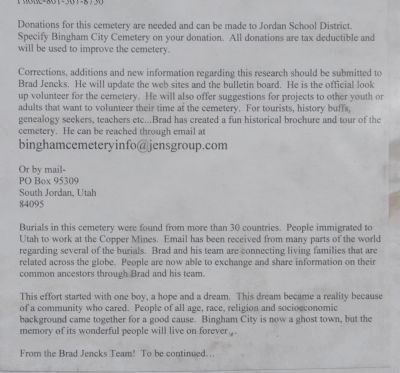
More about this memorial. The Bingham City Cemetery is a small cemetery located just east of the town of Copperton, Utah. The town of Bingham City has been swallowed up by the enormous Kennecott Utah Copper open-pit mine. Since space was extremely limited in Bingham Canyon, the cemetery was located in an open area beyond the mouth of the canyon.
The town of Copperton was built between 1926 and the 1950s to house and service mine employees and postdates the placement of this cemetery. It is called the Bingham City Cemetery because those originally interred here from Bingham Canyon were predominently from Bingham City or its "suburbs" of Copperfield, Carr Fork, Highland Boy, and other smaller mining camps.
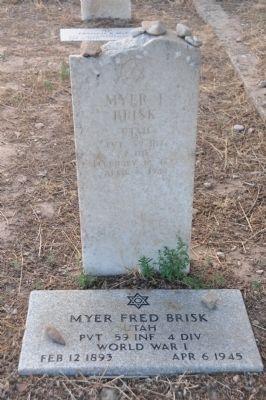
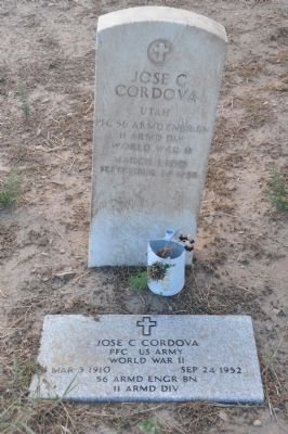
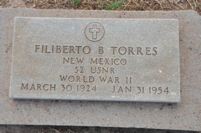
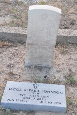
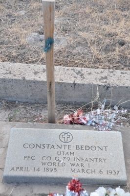
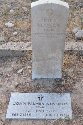
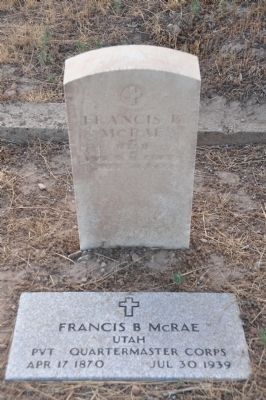
Regarding Bingham City Cemetery Veterans Memorial. Bingham City and its environs in Bingham Canyon was comprised primarily of people involved in mining rich mineral deposits. These miners came from many different countries from all over the world. When war broke out, many laid down their picks and shovels, or climbed out of ore haul trucks and giant steam or electric shovels and took up arms in defense of their (sometimes adopted) country. A small number gave their lives for the cause and an even smaller number are buried here. Only seven graves are located in the Veterans Memorial area but more who died in wartime are buried in other plots in this cemetery or cemeteries elsewhere in the world.
Also see . . . The Bingham City Cemetery and its Restoration. (Submitted on August 27, 2010, by Bryan R. Bauer of Kearns, Ut 84118.)
Credits. This page was last revised on February 16, 2023. It was originally submitted on August 27, 2010, by Bryan R. Bauer of Kearns, Ut 84118. This page has been viewed 1,749 times since then and 24 times this year. Last updated on August 30, 2010, by Bryan R. Bauer of Kearns, Ut 84118. Photos: 1, 2, 3, 4, 5, 6, 7, 8, 9, 10. submitted on August 27, 2010, by Bryan R. Bauer of Kearns, Ut 84118. 11, 12. submitted on August 30, 2010, by Bryan R. Bauer of Kearns, Ut 84118. • Kevin W. was the editor who published this page.
