Central City in Salt Lake City in Salt Lake County, Utah — The American Mountains (Southwest)
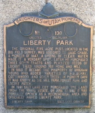
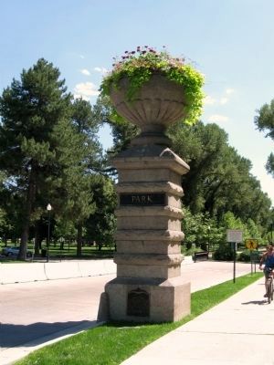
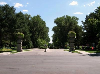
Liberty Park
In 1860, it became the property of Brigham Young who added varieties of Mulberry, Cottonwood, and other trees. In Pioneer Days, it was known as the Mill Farm, Forest Park, and Locust Patch.
In 1881, Salt Lake City purchased the land from the Young Estate. On June 17, 1882, it was formally opened as a recreational area and officially named Liberty Park.
Erected 1948 by Liberty Camp, Daughters of Utah Pioneers. (Marker Number 130.)
Topics and series. This historical marker is listed in these topic lists: Environment • Settlements & Settlers. In addition, it is included in the Daughters of Utah Pioneers series list. A significant historical month for this entry is June 1743.
Location. 40° 44.978′ N, 111° 52.441′ W. Marker is in Salt Lake City, Utah, in Salt Lake County. It is in Central City. Marker is on East 900 South, on the right when traveling east. Touch for map. Marker is at or near this postal address: 600 East 900 South, Salt Lake City UT 84102, United States of America. Touch for directions.
Other nearby markers. At least 8 other markers are within one mile of this marker , measured as the crow flies. Pioneer Home (approx. ¼ mile away); Chase Mill (approx. 0.4 miles away); Trinity African Methodist Episcopal Church (approx. 0.7 miles away); L.D.S. Tenth Ward Square (approx. 0.8 miles away); The Cedar Tree Shrine (approx. 0.9 miles away); Congregation Montefiore (approx. 0.9 miles away); Salt Lake City and County Building (approx. one mile away); B'nai Israel Temple (approx. one mile away). Touch for a list and map of all markers in Salt Lake City.
Credits. This page was last revised on February 16, 2023. It was originally submitted on August 31, 2010, by Jack Duffy of West Jordan, Utah. This page has been viewed 1,208 times since then and 16 times this year. Photos: 1, 2, 3. submitted on August 31, 2010, by Jack Duffy of West Jordan, Utah. • Syd Whittle was the editor who published this page.


