Near Battlefield in Greene County, Missouri — The American Midwest (Upper Plains)
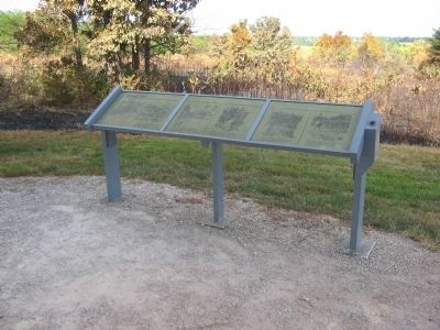
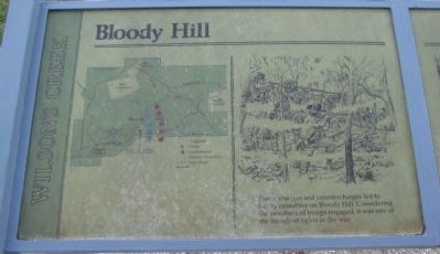
Bloody Hill
Wilson's Creek
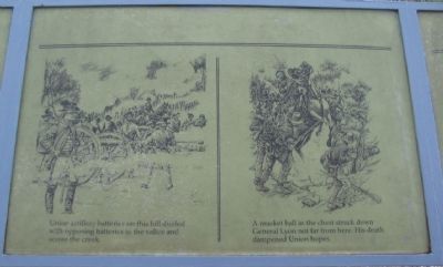
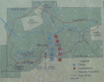
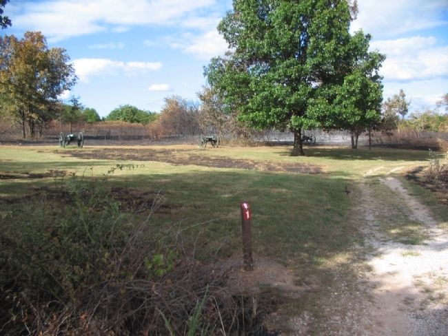
Union artillery batteries on this hill dueled with opposing batteries in the valley and across the creek.
A musket ball in the chest struck down General Lyon not far from here. His death dampened Union hopes.
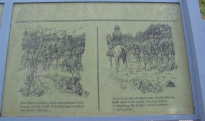
The Union soldiers were outnumbered two-to-one, and by 11:00 A.M. their ammunition was nearly exhausted.
After six hours of attacks and counterattacks, both sides were weary. During a lull in the fighting, the Union forces withdrew to Springfield.
Topics. This historical marker is listed in this topic list: War, US Civil.
Location. 37° 6.369′ N, 93° 24.925′ W. Marker is near Battlefield, Missouri, in Greene County. Marker is on Tour Road, on the right when traveling north. Located at stop 7, Bloody Hill, of the Wilson's Creek battlefield driving tour. Touch for map. Marker is in this post office area: Republic MO 65738, United States of America. Touch for directions.
Other nearby markers. At least 8 other markers are within walking distance of this marker. Death of Brigadier General Nathaniel Lyon (approx. ¼ mile away); Guibor's Battery (approx. 0.3 miles away); Battle's Beginning ... and End (approx. 0.4 miles away); Pulaski Arkansas Battery (approx. 0.6 miles away); Gibson's Mill Site (approx. 0.6 miles away); Gibson's House Site (approx. 0.6 miles away); The Eye of the Storm (approx. 0.6 miles away); Signs From The Past (approx. 0.6 miles away). Touch for a list and map of all markers in Battlefield.
Also see . . . Wilson's Creek National Battlefield Park. (Submitted on September 2, 2010, by Craig Swain of Leesburg, Virginia.)
Credits. This page was last revised on June 16, 2016. It was originally submitted on September 2, 2010, by Craig Swain of Leesburg, Virginia. This page has been viewed 1,131 times since then and 18 times this year. Photos: 1, 2, 3, 4, 5, 6, 7. submitted on September 2, 2010, by Craig Swain of Leesburg, Virginia.
