Near Rochester in Fulton County, Indiana — The American Midwest (Great Lakes)
Michigan Road
Inscription.
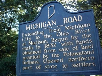
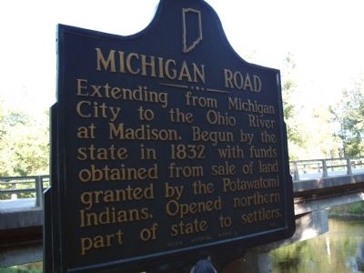
Extending from Michigan City to the Ohio River at Madison. Begun by the state in 1832 with funds obtained from sale of land granted by the Potawatomi Indians. Opened northern part of state to settlers.
Erected 1949 by Indiana Historical Bureau. (Marker Number 25.1949.1.)
Topics and series. This historical marker is listed in these topic lists: Native Americans • Roads & Vehicles. In addition, it is included in the Indiana Historical Bureau Markers, and the Potawatomi Trail of Death series lists. A significant historical year for this entry is 1832.
Location. 41° 6.344′ N, 86° 13.228′ W. Marker is near Rochester, Indiana, in Fulton County. Marker is on North Old US Highway 31 north of County Road E 350 N, on the right when traveling north. Touch for map. Marker is in this post office area: Rochester IN 46975, United States of America. Touch for directions.
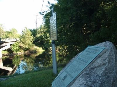
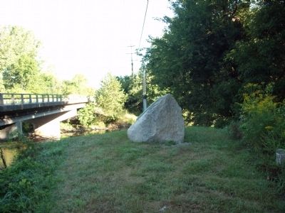
Other nearby markers. At least 8 other markers are within 3 miles of this marker, measured as the crow flies. Site of Indian Village Chippewa-Nung (here, next to this marker); William Polke Trading Post (a few steps from this marker); Father Petit and the Potawatomi 'Trail of Death' (approx. 1.1 miles away); William Polke House (approx. 1.1 miles away); Fulton County War Memorial (approx. 1.1 miles away); Joaquin Miller (approx. 2˝ miles away); The Underground Railroad (approx. 2.8 miles away); W. W. I War Memorial (approx. 2.8 miles away). Touch for a list and map of all markers in Rochester.
Credits. This page was last revised on August 30, 2020. It was originally submitted on September 6, 2010, by Al Wolf of Veedersburg, Indiana. This page has been viewed 1,040 times since then and 19 times this year. Photos: 1, 2, 3, 4. submitted on September 6, 2010, by Al Wolf of Veedersburg, Indiana. • Bill Pfingsten was the editor who published this page.


