Prairie Grove in Washington County, Arkansas — The American South (West South Central)
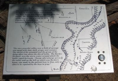
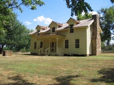
Archibald Borden House
"The once peaceful valley, now a field of carnage was swept with shot, shell, grape, and canister. The shriek of the wounded and the groan of the dying often rose above the din of battle. The Borden Orchard... was the storm center around which the battle raged furiously. Charge after charge across the valley and up the hill on which was Borden's house, was made by the gallant boys in blue, only as often to be repulsed by the boys in gray."
Topics. This historical marker is listed in this topic list: War, US Civil. A significant historical year for this entry is 1872.
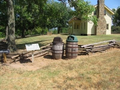
Location. 35° 59.125′ N, 94° 18.267′ W. Marker is in Prairie Grove, Arkansas, in Washington County. Marker can be reached from Park Tour Road, on the right when traveling east. Located on the walking trail at stop four, the Borden House, of Prairie Grove Battlefield State Park. Touch for map. Marker is in this post office area: Prairie Grove AR 72753, United States of America. Touch for directions.
Other nearby markers. At least 8 other markers are within walking distance of this marker. Blocher's Arkansas Battery (a few steps from this marker); Herron's Attack (within shouting distance of this marker); The Borden House / The Legacy of Prairie Grove (within shouting distance of this marker); The Dead of Prairie Grove (within shouting distance of this marker); 26th Indiana and 37th Illinois Infantry (within shouting distance of this marker); Lieutenant Colonel John C. Black (about 400 feet away, measured in a direct line); 29th Arkansas Infantry (about 500 feet away); The Lord's Vineyard (approx. ¼ mile away). Touch for a list and map of all markers in Prairie Grove.
Also see . . . Prairie Grove Battlefield State Park. (Submitted on September 6, 2010, by Craig Swain of Leesburg, Virginia.)
Credits. This page was last revised on June 16, 2016. It was originally submitted on September 6, 2010, by Craig Swain of Leesburg, Virginia. This page has been viewed 989 times since then and 14 times this year. Photos: 1, 2, 3. submitted on September 6, 2010, by Craig Swain of Leesburg, Virginia.


