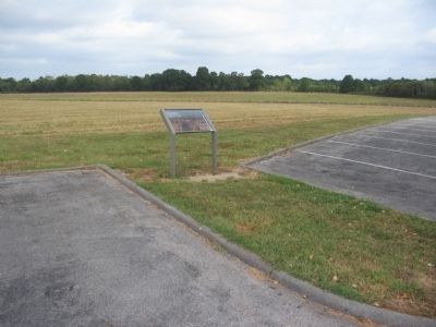
Near Garfield in Benton County, Arkansas — The American South (West South Central)
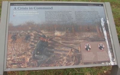
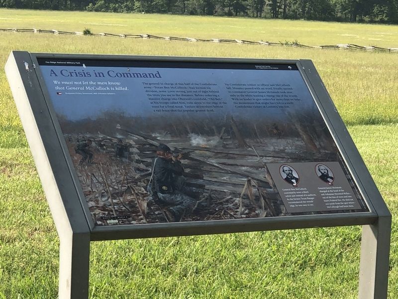
A Crisis in Command
Pea Ridge National Military Park
— National Park Service, U.S. Department of the Interior —
We must not let the men know that General McCulloch is killed.
Benjamin Pixley, Lieutenant, 16th Arkansas Infantry
The general in charge of this half of the Confederate army - Texan Ben McCulloch - had formed his division, some 7,000 strong, just out of sight behind the trees you see in the distance. Before ordering a massive charge into Oberson's cornfield, "Old Ben," as his troops called him, rode alone to the edge of the trees for a final scout. Yankee skirmishers behind a rail fence shot the popular general dead.
No Confederate soldier or officer saw McCulloch fall. Minutes passed with no word. Finally second-in-command General James McIntosh took over, only to die while leading a charge out of the woods. With no leader to give orders for more than an hour, the momentum that might have led to a swift Confederate victory at Leetown was lost.
(Captions under portraits on the lower right):
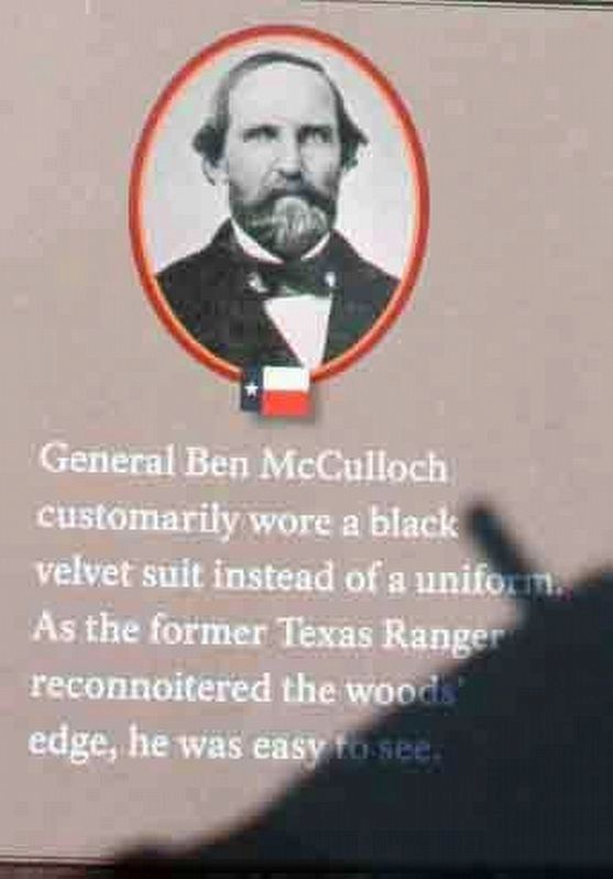
General Ben McCulloch customarily wore a black velvet suit instead of a uniform. As the former Texas Ranger reconnoitered the woods' edge, he was easy to see.
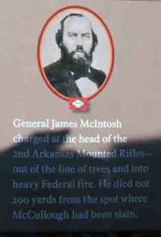
General James McIntosh charged at the head of the 2nd Arkansas Mounted Rifles out of the line of trees and into heavy Federal fire. He died not 200 yards from the spot where McCulloch had been slain.
Erected by National Park Service, U.S. Department of the Interior.
Topics. This historical marker is listed in this topic list: War, US Civil.
Location. 36° 26.685′ N, 94° 3.153′ W. Marker is near Garfield, Arkansas, in Benton County. Marker is on Military Park Road (County Road 65), on the left when traveling north. Located at stop four, the Leetown Battlefield, on the driving tour of Pea Ridge National Military Park. Touch for map. Marker is in this post office area: Garfield AR 72732, United States of America. Touch for directions.
Other nearby markers. At least 8 other markers are within 2 miles of this marker, measured as the crow flies. Save the Cannon! (a few steps from this marker); Stand to Your Posts! (within shouting distance of this marker); A Fierce Tangle in Morgan's Woods (about 300 feet away, measured in a direct line); A Village Full of Wounded Men (approx. ¼ mile away); Leetown (approx. 0.3 miles away); Two Armies Collide (approx. 0.6 miles away); Getting Ready To Fight (approx. 1.2 miles away); City of Soldiers (approx. 1.2 miles away). Touch for a list and map of all markers in Garfield.
Also see . . .
1. General Ben McCulloch. Biography from the park website. (Submitted on September 10, 2010, by Craig Swain of Leesburg, Virginia.)
2. General James McIntosh. Biography from the park website. (Submitted on September 10, 2010, by Craig Swain of Leesburg, Virginia.)
3. Pea Ridge (Elkhorn Tavern)
. American Battlefield Trust website entry (Submitted on May 8, 2021, by Larry Gertner of New York, New York.)
Photographed By Craig Swain, August 30, 2010
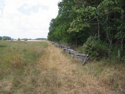
6. Area Where McCulloch Fell
Looking west from Arkansas Highway 72 on the north edge of the Lee/Mayfield/Oberson fields. McCulloch likely fell about 100 yards west of the highway just out of the tree line. Some accounts credit a Private from the 36th Illinois as killing McCulloch. Veterans marked the spot of McCulloch's and McIntosh's death with stone cairns. But those disappeared before the park was established.
Photographed By Craig Swain, August 30, 2010
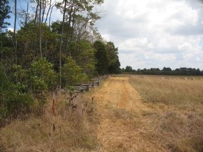
7. Area Where McIntosh Fell
Looking east from Arkansas Highway 72. McIntosh was killed instantly when emerging into the field at around 2:30 P.M., suffering a shot through the heart. The location was also marked with a stone cairn after the war, about 200 yards east of the highway. But the stones have disappeared.
Credits. This page was last revised on June 19, 2023. It was originally submitted on September 10, 2010, by Craig Swain of Leesburg, Virginia. This page has been viewed 1,343 times since then and 13 times this year. Photos: 1. submitted on September 10, 2010, by Craig Swain of Leesburg, Virginia. 2, 3. submitted on December 21, 2016, by Byron Hooks of Sandy Springs, Georgia. 4. submitted on June 4, 2023, by Duane and Tracy Marsteller of Murfreesboro, Tennessee. 5, 6, 7. submitted on September 10, 2010, by Craig Swain of Leesburg, Virginia.
