Poncey-Highland in Atlanta in Fulton County, Georgia — The American South (South Atlantic)
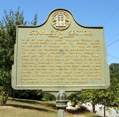
Stanley's Sector
This was the extreme left of Howard’s 4th A.C.; its right flank rested at Tanyard Branch in Land Lot 107, 17th Dist., north of Grant Field.
From E. to W. were Stanley’s, Wood’s & Newton’s divisions. Stanley’s left joined the rt. of the 23d A.C. near the Augustus Hurt house where a signal station was located. The 4th A.C. continued to occupy the same line throughout siege operations after which, under Stanley’s command, it was shifted around the W. side of Atlanta in the move on Jonesboro.
Erected 1956 by Georgia Historical Commission. (Marker Number 060-81.)
Topics and series. This historical marker is listed in this topic list: War, US Civil. In addition, it is included in the Georgia Historical Society series list. A significant historical date for this entry is July 22, 1862.
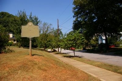
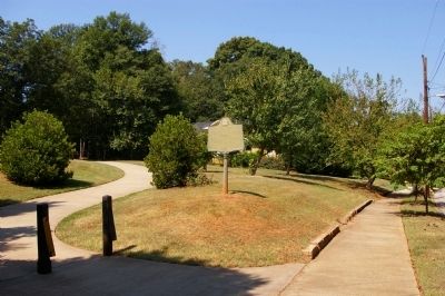
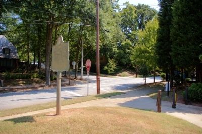
Location. 33° 46.167′ N, 84° 21.4′ W. Marker is in Atlanta, Georgia, in Fulton County. It is in Poncey-Highland. Marker is at the intersection of Linwood Avenue and Ralph McGill Boulevard, on the right when traveling south on Linwood Avenue. Touch for map. Marker is in this post office area: Atlanta GA 30306, United States of America. Touch for directions.
Other nearby markers. At least 8 other markers are within walking distance of this marker. Augustus Hurt Plantation (approx. 0.2 miles away); Sightless Among Miracles (approx. 0.2 miles away); Augustus Hurt House (approx. 0.2 miles away); The Battles for Atlanta (approx. 0.2 miles away); National NuGrape Company (approx. Ľ mile away); The March to the Sea (approx. half a mile away); Old Williams Mill Rd. (approx. 0.6 miles away); Ponce de Leon Ball Park (approx. 0.6 miles away). Touch for a list and map of all markers in Atlanta.
Credits. This page was last revised on February 8, 2023. It was originally submitted on September 11, 2010, by David Seibert of Sandy Springs, Georgia. This page has been viewed 1,022 times since then and 21 times this year. Photos: 1, 2, 3, 4. submitted on September 11, 2010, by David Seibert of Sandy Springs, Georgia. • Craig Swain was the editor who published this page.


