Near Garfield in Benton County, Arkansas — The American South (West South Central)
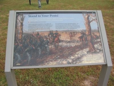
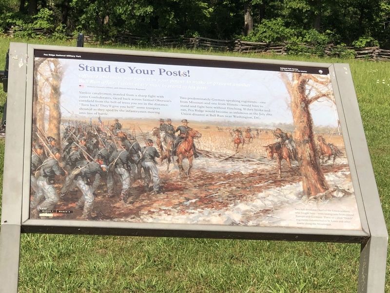
Stand to Your Posts!
March 7, 1862 - Mid-Morning
— Pea Ridge National Military Park —
Officers and men, you have it in your power to make or prevent another Bull Run affair. I want every man to stand to his post!
Nicholas Greusel, colonel, 36th Illinois Infantry Regiment
Yankee cavalrymen, mauled from a sharp fight with 7,000 Confederates, raced back across Samuel Oberson's cornfield from the belt of trees you see in the distance. "Turn back! They'll give you hell!" some troopers shouted as they sped by the infantrymen moving into line of battle.
Two predominately German-speaking regiments - one from Missouri and one from Illinois - would have to stand and fight here without flinching. If they broke and ran, Pea Ridge would become as infamous as the July 1861 Union disaster at Bull Run near Washington, D.C.
Two full divisions - half of the Union soldiers who fought here - were immigrants from central Europe and Germany. These so-called "Dutch" regiments volunteered in St. Louis and other towns along the Mississippi.
Erected by National Park Service, U.S. Department of the Interior.
Topics. This historical marker is listed in this topic list: War, US Civil. A significant historical month for this entry is July 1861.
Location. 36° 26.678′ N, 94° 3.135′ W. Marker is near Garfield, Arkansas, in Benton County. Marker is on Military Park Road (County Road 65), on the right when traveling north. Located at stop four, the Leetown Battlefield, on the driving tour of Pea Ridge National Military Park. Touch for map. Marker is in this post office area: Garfield AR 72732, United States of America. Touch for directions.
Other nearby markers. At least 8 other markers are within 2 miles of this marker, measured as the crow flies. Save the Cannon! (within shouting distance of this marker); A Crisis in Command (within shouting distance of this marker); A Fierce Tangle in Morgan's Woods (within shouting distance of this marker); A Village Full of Wounded Men (approx. ¼ mile away); Leetown (approx. 0.3 miles away); Two Armies Collide (approx. 0.6 miles away); Getting Ready To Fight (approx. 1.1 miles away); City of Soldiers (approx. 1.1 miles away). Touch for a list and map of all markers in Garfield.
Also see . . .
1. Pea Ridge National Military Park. National Park Service website entry (Submitted on September 11, 2010, by Craig Swain of Leesburg, Virginia.)
2. Battle of Pea Ridge. American Battlefield Trust website entry (Submitted on April 30, 2021, by Larry Gertner of New York, New York.)
Photographed By Craig Swain, August 30, 2010
4. Guns in Oberson's Field
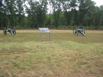
Three field pieces represent Federal artillery, at the likely position held by Welfley’s Independent Missouri Battery, stand on the south edge of Oberson's Field. Two of the guns are 3-inch Ordnance Rifles. The middle bronze piece is a 12-pdr Napoleon.
Photographed By Craig Swain, August 30, 2010
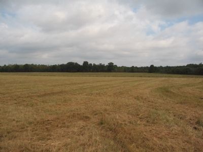
5. Oberson's Field
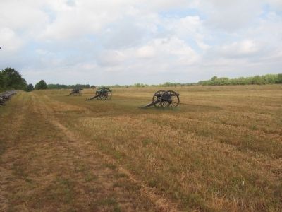
Looking from the south edge of the field across toward the direction of the Confederate advance. The adjoining Lee and Mayfield Cornfields are to the west (left) of this view. The 2nd Arkansas Mounted Rifles made their attack on the Federals from the far wood line.
Credits. This page was last revised on June 19, 2023. It was originally submitted on September 11, 2010, by Craig Swain of Leesburg, Virginia. This page has been viewed 1,119 times since then and 15 times this year. Photos: 1. submitted on September 11, 2010, by Craig Swain of Leesburg, Virginia. 2. submitted on June 4, 2023, by Duane and Tracy Marsteller of Murfreesboro, Tennessee. 3, 4, 5. submitted on September 11, 2010, by Craig Swain of Leesburg, Virginia.
