Near Garfield in Benton County, Arkansas — The American South (West South Central)
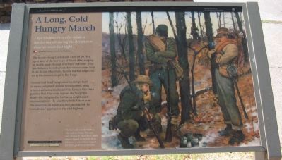
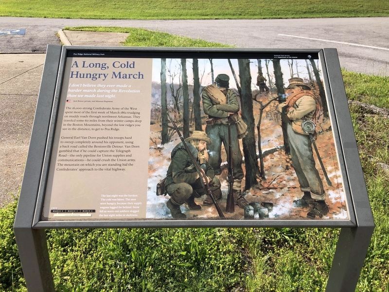
A Long, Cold Hungry March
Pea Ridge National Military Park
— National Park Service, U.S. Department of the Interior —
I don't believe they ever made a harder march during the Revolution than we made that night.
Jack Bower, private, 2nd Missouri Regiment
The 16,000-strong Confederate Army of the West spent most of the first week of March 1862 trudging on muddy roads through northwest Arkansas. They traveled some 60 miles from their winter camps deep in the Boston Mountains, beyond the low ridges you see in the distance, to get to Pea Ridge.
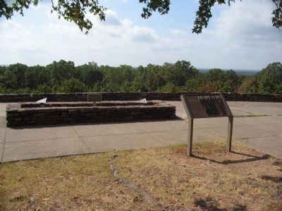
General Earl Van Dorn pushed his troops hard to sweep completely around his opponent, using a back road called the Bentonville Detour. Van Dorn gambled that if he could capture the Telegraph Road - the only pipeline for Union supplies and communications - he could crush the Union army. The mountain on which you are standing hid the Confederates' approach to the vital highway.
The last night was the hardest. The cold was bitter. The men were hungry, because their supply wagons lagged far behind. Snow fell as worn-out soldiers slogged the last eight miles in darkness.
Erected by National Park Service, U.S. Department of the Interior.
Topics. This historical marker is listed in this topic list: War, US Civil. A significant historical year for this entry is 1862.
Location. 36° 27.593′ N, 94° 2.52′ W. Marker is near Garfield, Arkansas, in Benton County. Marker is on Military Park Road (County Road 65), on the right when traveling east. Located at stop six, the West Overlook, on the driving tour of Pea Ridge National Military Park. Touch for map. Marker is in this post office area: Garfield AR 72732, United States of America. Touch for directions.
Other nearby markers. At least 8 other markers are within 2 miles of this marker, measured as the crow flies. Two Armies Collide (approx. 0.6 miles away); Hard Fighting Near Leetown (approx. 1.1 miles away); Slaughter in the Rocks (approx. 1.1 miles away); It was the Grandest Thing I Ever Saw... (approx. 1.1 miles away); Night Moves (approx. 1.1 miles away); Fiery Finale on Ruddick's Field (approx. 1.1 miles away); Save the Cannon! (approx. 1.2 miles away); Stand to Your Posts! (approx. 1.2 miles away). Touch for a list and map of all markers in Garfield.
Also see . . .
1. Pea Ridge National Military Park. National Park Service website entry (Submitted on September 12, 2010, by Craig Swain of Leesburg, Virginia.)
2. Battle of Pea Ridge. American Battlefield Trust website entry (Submitted on May 3, 2021, by Larry Gertner of New York, New York.)
Photographed By Craig Swain, August 30, 2010
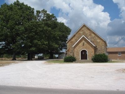
4. Twelve Corners Church Site
Just northwest of the park boundary is the site of Twelve Corners Church. This modern Baptist Church stands on the site of the wartime church. The Army of the West marched past the church along the Bentonville Detour while making the flanking maneuver around the Federals.
Photographed By Craig Swain, August 30, 2010
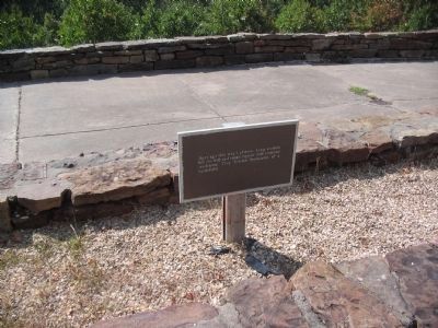
5. Ancient Plateau
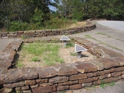
Plaque behind the marker states, Ages ago this was a plateau. Long erosion left the hill and ridge capped with resistant sandstone. They became landmarks of a battlefield. Also within the walled display area are pointers indicating 10 and 29 mile distances to the nearby cities of Rogers and Fayetteville, respectively.
Credits. This page was last revised on June 19, 2023. It was originally submitted on September 12, 2010, by Craig Swain of Leesburg, Virginia. This page has been viewed 1,116 times since then and 24 times this year. Photos: 1. submitted on September 12, 2010, by Craig Swain of Leesburg, Virginia. 2. submitted on June 4, 2023, by Duane and Tracy Marsteller of Murfreesboro, Tennessee. 3, 4, 5, 6. submitted on September 12, 2010, by Craig Swain of Leesburg, Virginia.
