Buckhead in Atlanta in Fulton County, Georgia — The American South (South Atlantic)
Moore's Mill
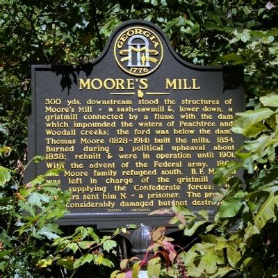
Thomas Moore (1828-1914) built the mills, 1854. Burned during a political upheaval about 1858; rebuilt & were in operation until 1901.
With the advent of the Federal army, 1864, the Moore family refugeed south. B.F. Mauldin was left in charge of the gristmill which was supplying the Confederate forces; the invaders sent him N. ~ a prisoner. The property was considerably damaged but not destroyed.
Erected 1956 by Georgia Historical Commission. (Marker Number 060-64.)
Topics and series. This historical marker is listed in these topic lists: Industry & Commerce • War, US Civil. In addition, it is included in the Georgia Historical Society series list. A significant historical year for this entry is 1854.
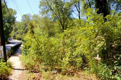
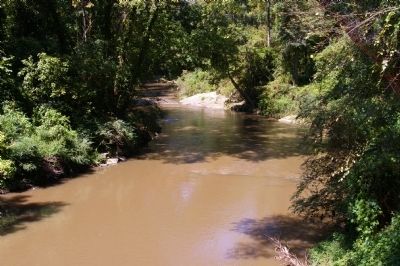
Location. 33° 49.583′ N, 84° 26.534′ W. Marker is in Atlanta, Georgia, in Fulton County. It is in Buckhead. Marker is on Moores Mill Road, 5 miles west of Margaret Mitchell Drive, on the right when traveling west. The marker is just east of the Moores Mill Road Bridge over Peachtree Creek. Touch for map . Marker is in this post office area: Atlanta GA 30327, United States of America. Touch for directions.
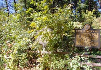
Other nearby markers. At least 8 other markers are within 2 miles of this marker, measured as the crow flies. Battle at Moore’s Mill (here, next to this marker); Fort Peachtree, War of 1812 (approx. half a mile away); Standing Peach Tree (approx. 0.7 miles away); Fort Peach Tree (approx. 0.7 miles away); Montgomery's Ferry (approx. 0.7 miles away); Montgomery Cemetery (approx. ¾ mile away); Johnston’s Army Crossed the River (approx. 1.1 miles away); Casey's Hill (approx. 1.2 miles away). Touch for a list and map of all markers in Atlanta.
Credits. This page was last revised on February 8, 2023. It was originally submitted on September 13, 2010, by David Seibert of Sandy Springs, Georgia. This page has been viewed 1,409 times since then and 101 times this year. Photos: 1, 2, 3, 4. submitted on September 13, 2010, by David Seibert of Sandy Springs, Georgia. • Craig Swain was the editor who published this page.


