Near Middlesboro in Bell County, Kentucky — The American South (East South Central)
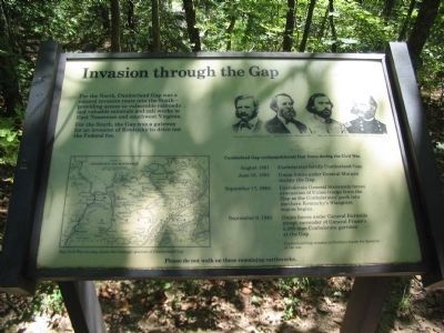
Invasion through the Gap
Inscription.
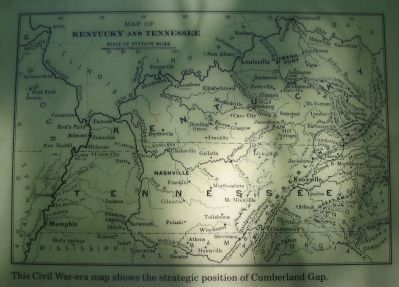
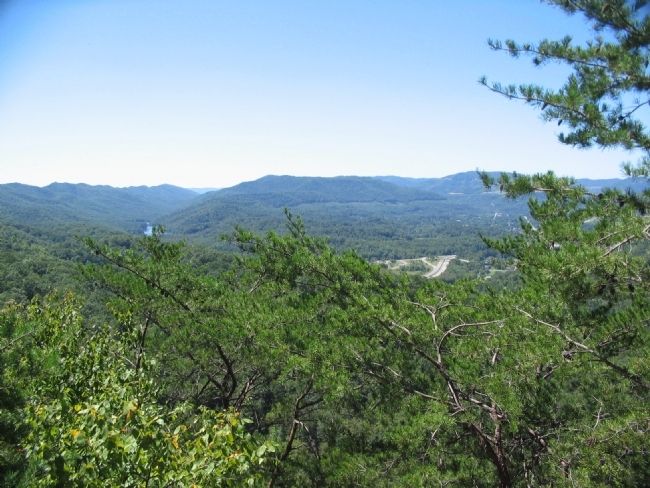
For the North, Cumberland Gap was a natural invasion route into the South - providing access to vulnerable railroads and valuable minerals and salt works in East Tennessee and southwest Virginia.
For the South, the Gap was a gateway for an invasion of Kentucky to drive out the Federal foe.
Cumberland Gap exchanged hands four times during the Civil War
August 1861 Confederates fortify Cumberland Gap.
June 18, 1862 Union forces under General Morgan occupy the Gap.
September 17, 1862 Confederate General Stevenson forces evacuation of Union troops from the Gap as the Confederates' push into northern Kentucky's Bluegrass region begins.
September 9, 1863 Union forces under General Burnside accept surrender of General Frazer's 2,300-man Confederate garrison at the Gap.
Cumberland Gap remains in Northern hands for duration of the war.
Please do not walk on these remaining earthworks.
Erected by National Park Service, U.S. Department of the Interior.
Topics. This historical marker is listed in this topic list: War, US Civil. A significant historical month for this entry is June 1841.
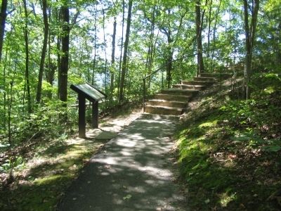
Location. Marker has been permanently removed. It was located near 36° 36.495′ N, 83° 40.464′ W. Marker was near Middlesboro, Kentucky, in Bell County. Marker could be reached from Pinnacle Road, on the right when traveling east. Was located on a foot path leading from a parking area to the Fort McCook site in Cumberland Gap National Historical Park. Touch for map. Marker was in this post office area: Middlesboro KY 40965, United States of America.
We have been informed that this sign or monument is no longer there and will not be replaced. This page is an archival view of what was.
Other nearby markers. At least 8 other markers are within walking distance of this location. Two Armies, One Railroad (within shouting distance of this marker); Forts and Batteries, North and South (within shouting distance of this marker); A Masterful Retreat (approx. 0.2 miles away); Cumberland Gap / Grant Visits Cumberland Gap (approx. 0.2 miles away); An Object Lesson Road (approx. 0.2 miles away); a different marker also named An Object Lesson Road (approx. 0.2 miles away); Dirt-and-Log Forts (approx. 0.2 miles away); Two-Way Traffic (approx. 0.2 miles away). Touch for a list and map of all markers in Middlesboro.
More about this marker. This marker was replaced by "Two Armies, One Railroad" https://www.hmdb.org/m.asp?m=205086
Also see . . . Cumberland Gap National Historical Park
. (Submitted on September 14, 2010, by Craig Swain of Leesburg, Virginia.)
Credits. This page was last revised on October 13, 2022. It was originally submitted on September 14, 2010, by Craig Swain of Leesburg, Virginia. This page has been viewed 1,108 times since then and 11 times this year. Last updated on October 13, 2022. Photos: 1, 2, 3, 4. submitted on September 14, 2010, by Craig Swain of Leesburg, Virginia. • Mark Hilton was the editor who published this page.


