Rio Grande in Salt Lake City in Salt Lake County, Utah — The American Mountains (Southwest)
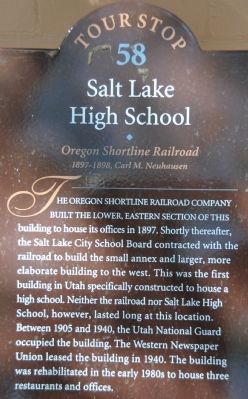
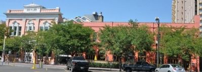
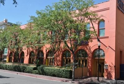
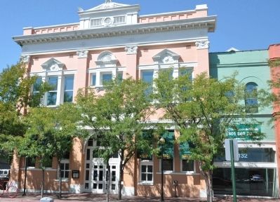
Salt Lake City High School
Oregon Shortline Railroad
— 1897-1898, Carl M. Neuhausen —
Erected by Utah Heritage Foundation. (Marker Number 58.)
Topics and series. This historical marker is listed in these topic lists: Education • Railroads & Streetcars. In addition, it is included in the Utah, Salt Lake City Downtown Walking Tour series list. A significant historical year for this entry is 1897.
Location. 40° 45.839′ N, 111° 53.706′ W. Marker is in Salt Lake City, Utah, in Salt Lake County. It is in Rio Grande. Marker is on Pierpont Avenue, on the right when traveling west. Touch for map. Marker is at or near this postal address: 134 Pierpont Avenue, Salt Lake City UT 84101, United States of America. Touch for directions.
Other nearby markers. At least 8 other markers are within walking distance of this marker. Bertolini Block (about 300 feet away, measured in a direct line); a different marker also named Bertolini Block (about 300 feet away); Congregation B'Nai Israel (about 400 feet away); Peery Hotel (about 400 feet away); a different marker also named Peery Hotel (about 400 feet away); Patrick Dry Goods Company Building (about 400 feet away); Utah's First Pioneer Burial Site (about 700 feet away); Broadway Hotel (approx. 0.2 miles away). Touch for a list and map of all markers in Salt Lake City.
More about this marker. This location is Tour Stop 58 on the Utah Heritage Foundation Downtown Walking Tour.
Credits. This page was last revised on February 16, 2023. It was originally submitted on September 5, 2010, by Bryan R. Bauer of Kearns, Ut 84118. This page has been viewed 1,009 times since then and 23 times this year. Last updated on September 14, 2010, by Bryan R. Bauer of Kearns, Ut 84118. Photos: 1, 2, 3, 4. submitted on September 5, 2010, by Bryan R. Bauer of Kearns, Ut 84118. • Kevin W. was the editor who published this page.


