Marker Logo HMdb.org THE HISTORICAL
MARKER DATABASE
“Bite-Size Bits of Local, National, and Global History”
Near New Site in Prentiss County, Mississippi — The American South (East South Central)
 

Pharr Mounds


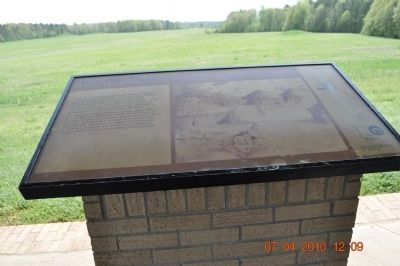
Pharr Mounds Marker image. Click for full size.
Photographed By Sandra Hughes, April 7, 2010
1. Pharr Mounds Marker
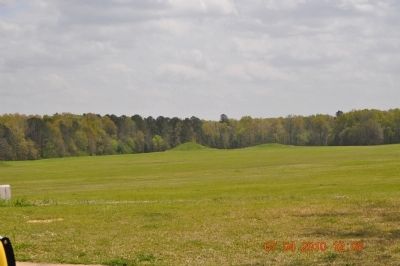
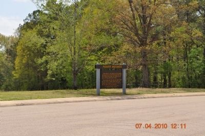
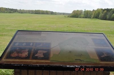
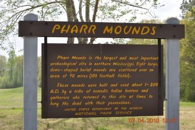
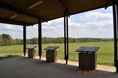
Inscription. Pharr Mounds is the largest and most important archeological site in northern Mississippi. Eight large, dome-shaped burial mounds are scattered over an area of 90 acres (100 football fields). These mounds were built and used about 1-200 A.D. by a tribe of nomadic Indian hunters and gatherers who returned to this site at times to bury the dead with their possessions.
 
Erected by United State Department of the Interior National Park Service.
 
Topics and series. This historical marker is listed in this topic list: Native Americans. In addition, it is included in the Natchez Trace series list.
 
Location. 34° 28.27′ N, 88° 25.219′ W. Marker is near New Site, Mississippi, in Prentiss County. Marker is on Nachez Trace Parkway (at milepost 286.7), on the right when traveling east. Pharr Mounds are located on the Natchez Trace Parkway (milepost 286.7), about 23 miles northeast of Tupelo, Mississippi. Touch for map. Marker is in this post office area: New Site MS 38859, United States of America. Touch for directions.
 
Other nearby markers. At least 8 other markers are within 8 miles of this marker, measured as the crow flies. Donivan Slough (approx. 3.3 miles away); a different marker also named Donivan Slough (approx. 3.3 miles away); Tennessee - Tombigbee Waterway
Paid Advertisement
Click on the ad for more information.
Please report objectionable advertising to the Editor.
Click or scan to see
this page online
(approx. 6 miles away); Jamie L. Whitten Historic Landmark (approx. 6 miles away); River, Canal and Cut (approx. 6 miles away); Butler Dogtrot Cabin (approx. 6.8 miles away); a different marker also named Butler Dogtrot Cabin (approx. 6.8 miles away); Twentymile Bottom (approx. 7.9 miles away).
 
Pharr Mounds Marker image. Click for full size.
Photographed By Sandra Hughes, April 7, 2010
2. Pharr Mounds Marker
Pharr Mounds image. Click for full size.
Photographed By Sandra Hughes, April 7, 2010
3. Pharr Mounds
Pharr Mounds Marker image. Click for full size.
Photographed By Sandra Hughes, April 7, 2010
4. Pharr Mounds Marker
Pharr Mounds Marker image. Click for full size.
Photographed By Sandra Hughes, April 7, 2010
5. Pharr Mounds Marker
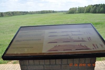
Building an Indian Mound image. Click for full size.
Photographed By Sandra Hughes, April 7, 2010
6. Building an Indian Mound
Who were they? image. Click for full size.
Photographed By Sandra Hughes, April 7, 2010
7. Who were they?
Pharr Mounds image. Click for full size.
Photographed By Sandra Hughes, April 7, 2010
8. Pharr Mounds
 
 
Credits. This page was last revised on June 16, 2016. It was originally submitted on September 15, 2010, by Sandra Hughes Tidwell of Killen, Alabama, USA. This page has been viewed 1,489 times since then and 93 times this year. Photos:   1, 2, 3, 4, 5, 6, 7, 8. submitted on September 15, 2010, by Sandra Hughes Tidwell of Killen, Alabama, USA. • Craig Swain was the editor who published this page.
Share this page.  
Share on Tumblr
m=35764

CeraNet Cloud Computing sponsors the Historical Marker Database.
This website earns income from purchases you make after using our links to Amazon.com. We appreciate your support.
Paid Advertisement
Apr. 25, 2024