Near Ewing in Lee County, Virginia — The American South (Mid-Atlantic)
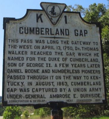
Cumberland Gap
Erected 1929 by Conservation & Development Commission. (Marker Number K-1.)
Topics and series. This historical marker is listed in these topic lists: Exploration • Settlements & Settlers • War, US Civil. In addition, it is included in the Virginia Department of Historic Resources (DHR) series list. A significant historical month for this entry is April 1750.
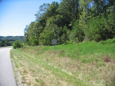
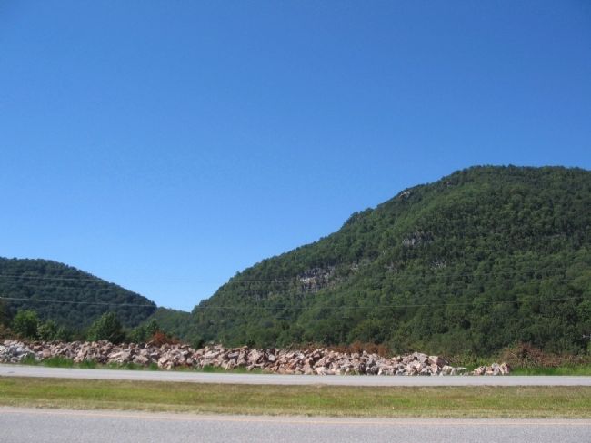
Location. 36° 35.989′ N, 83° 37.841′ W. Marker is near Ewing, Virginia, in Lee County. Marker is on Old Wilderness Road (U.S. 58), on the right when traveling west. Located near the entrance to the Wilderness Road Campground area in Cumberland Gap National Historical Park. Touch for map. Marker is in this post office area: Ewing VA 24248, United States of America. Touch for directions.
Other nearby markers. At least 8 other markers are within 2 miles of this marker, measured as the crow flies. Settling an Old Dispute (approx. 0.4 miles away); Lee County / Tennessee (approx. 1.4 miles away); In Search of Food (approx. 1.6 miles away); Abundance of Wild Beasts (approx. 1.6 miles away); Warriors and Traders (approx. 1.6 miles away); Daniel Boone Wilderness Trail (approx. 1.6 miles away); Fulfilling the Dream (approx. 1.8 miles away); Harrow School (approx. 1.9 miles away in Tennessee). Touch for a list and map of all markers in Ewing.
Also see . . . Cumberland Gap National Historical Park. (Submitted on September 15, 2010, by Craig Swain of Leesburg, Virginia.)
Credits. This page was last revised on June 16, 2016. It was originally submitted on September 15, 2010, by Craig Swain of Leesburg, Virginia. This page has been viewed 1,267 times since then and 74 times this year. Photos: 1, 2, 3. submitted on September 15, 2010, by Craig Swain of Leesburg, Virginia.


