Near Spotsylvania Courthouse in Spotsylvania County, Virginia — The American South (Mid-Atlantic)
A Bold Plan
The Battle of Chancellorsville
— Fredericksburg and Spotsylvania National Military Park —
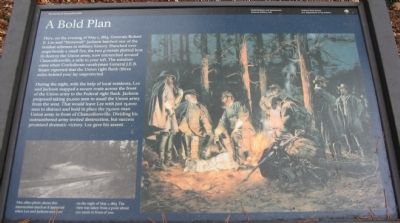
During the night, with the help of local residents, Lee and Jackson mapped a secure route across the front of the Union army to the Federal right flank. Jackson proposed taking 30,000 men to assail the Union army from the west. That would leave Lee with just 15,000 men to distract and hold in place the 75,000-man Union army in front of Chancellorsville. Dividing his outnumbered army invited destruction, but success promised dramatic victory. Lee gave his assent.
Erected by National Park Service, U.S. Department of the Interior.
Topics. This historical marker is listed in this topic list: War, US Civil. A significant historical date for this entry is May 1, 1745.
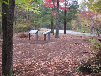
Location. 38° 17.698′ N, 77° 37.53′ W. Marker is near Spotsylvania Courthouse, Virginia, in Spotsylvania County. Marker is at the intersection of McLaws Drive and Old Plank Road, on the right when traveling south on McLaws Drive. Located at tour stop five of the Driving tour of the Battle of Chancellorsville. Touch for map. Marker is at or near this postal address: 8402 Furnace Rd, Fredericksburg VA 22407, United States of America. Touch for directions.
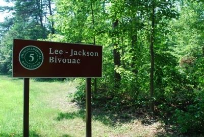
Other nearby markers. At least 8 other markers are within walking distance of this marker. Final Meeting, Fateful March (here, next to this marker); Chancellorsville Campaign (a few steps from this marker); Bivouac (a few steps from this marker); a different marker also named Chancellorsville Campaign (about 300 feet away, measured in a direct line); McLaws Trail (approx. half a mile away); Wounding of Jackson (approx. 0.7 miles away); a different marker also named Chancellorsville Campaign (approx. 0.7 miles away); Jackson on the Move (approx. ¾ mile away). Touch for a list and map of all markers in Spotsylvania Courthouse.
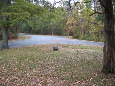
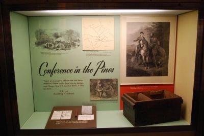
More about this marker. The right side of the marker has a painting of the meeting of the generals around the campfire, described in the text. On the lower left is a photograph from the 1880s showing "this intersection much as it appeared when Lee and Jackson met here on the night of May 1, 1863. The view was taken from a point about 100 yards" in front of the marker.
Regarding A Bold Plan. This is one of several markers for the Battle of Chancellorsville along McLaws Drive, Furnace Road, Sickles Drive,
and East Jackson Trail, on the east side of the battlefield. See the McLaws's Line to Catharine Furnace Virtual Tour by Markers in the links section for a listing of related markers on the tour.
Also see . . . McLaws's Line to Catharine Furnace Virtual Tour by Markers. Spread across a two mile segment on the east side of the battlefield, this virtual tour by markers covers action from May 1-3, 1863. (Submitted on November 16, 2007, by Craig Swain of Leesburg, Virginia.)
Credits. This page was last revised on July 9, 2021. It was originally submitted on November 16, 2007, by Craig Swain of Leesburg, Virginia. This page has been viewed 1,415 times since then and 12 times this year. Photos: 1, 2, 3. submitted on November 16, 2007, by Craig Swain of Leesburg, Virginia. 4, 5. submitted on July 25, 2015, by Brandon Fletcher of Chattanooga, Tennessee.
