Downtown in Salt Lake City in Salt Lake County, Utah — The American Mountains (Southwest)
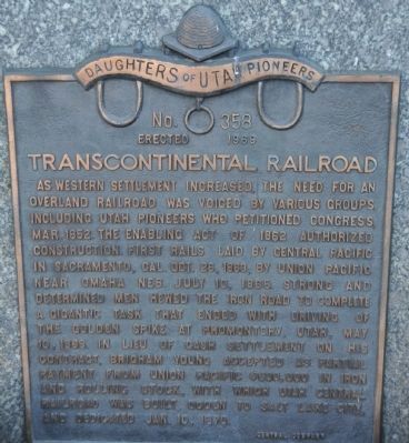
Transcontinental Railroad
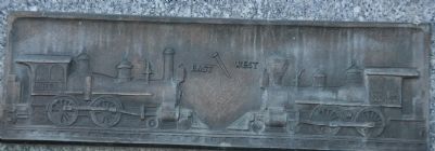
As western settlement increased, the need for an overland railroad was voiced by various groups, including Utah pioneers who petitioned Congress, Mar. 1852. The Enabling Act of 1862 authorized construction. First rails laid by Central Pacific in Sacramento, Cal. Oct. 26, 1863; by Union Pacific near Omaha, Neb. July 10, 1865. Strong and determined men hewed the iron road to complete a gigantic task that ended with driving of the Golden Spike at Promotory, Utah May 10, 1869. In lieu of cash settlement on his contract, Brigham Young accepted as partial payment from Union Pacific $600,000 in iron and rolling stock, with which Utah Central Railroad was built, Ogden to Salt Lake City, and dedicated Jan. 10, 1870.
Erected 1969 by Daughters of Utah Pioneers - Central Camp. (Marker Number 358.)
Topics and series. This historical marker is listed in this topic list: Railroads & Streetcars. In addition, it is included in the Daughters of Utah Pioneers, and the Transcontinental Railroad series lists. A significant historical month for this entry is May 1864.
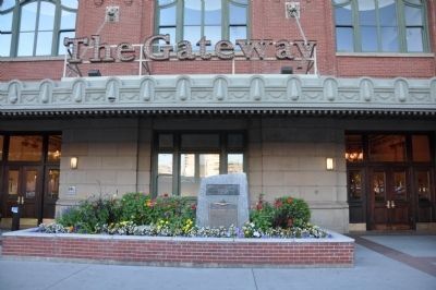
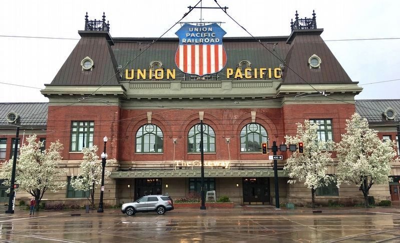
Location. 40° 46.161′ N, 111° 54.165′ W. Marker is in Salt Lake City, Utah, in Salt Lake County. It is in Downtown. Marker is at the intersection of 400 West and South Temple Street, on the right when traveling south on 400 West. Touch for map. Marker is in this post office area: Salt Lake City UT 84101, United States of America. Touch for directions.
Other nearby markers. At least 8 other markers are within walking distance of this marker. Devereaux House (about 500 feet away, measured in a direct line); William Staines and William Jennings (about 500 feet away); Westgate Fine Arts Center (approx. 0.3 miles away); Henderson Block (approx. 0.3 miles away); a different marker also named Henderson Block (approx. 0.3 miles away); Morrison-Merrill Lumber Company (approx. 0.3 miles away); Dr. Martha Hughes Cannon (approx. 0.3 miles away); Central Warehouse Building (approx. 0.3 miles away). Touch for a list and map of all markers in Salt Lake City.
More about this marker. The marker is situated just to the right of a benchmark giving an elevation of 4260.840 feet Above Mean Sea Level (AMSL). The benchmark marker also states that the Great Salt Lake is about 55 feet lower.
Regarding Transcontinental Railroad. The Transcontinental Railroad was completed in 1867 at Promontory Summit (NOT Promontory Point) not far north of here. But rails did not reach Salt Lake City until 1870.
Also see . . .
1. Transcontinental Railroad. Utah website entry (Submitted on August 23, 2023, by Larry Gertner of New York, New York.)
2. Railroad History in Utah
. Brigham Young, as community leader and president of the Church of Jesus Christ of Latter-day Saints, foresaw the impact that the coming of the railroad would have and wanted the transcontinental rail line built through Salt Lake City. (Submitted on September 18, 2010.)
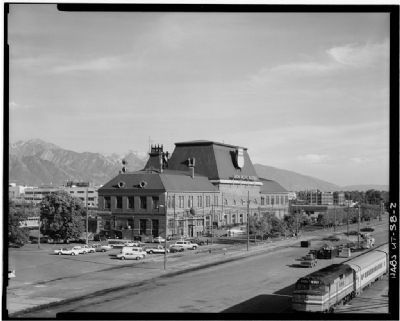
Library of Congress Prints and Photographs Division
5. Union Station
Historic American Buildings Survey - HABS - Library of Congress
HABS UTAH,18-SALCI,25-2
Click for more information.
HABS UTAH,18-SALCI,25-2
Click for more information.
Credits. This page was last revised on August 23, 2023. It was originally submitted on September 16, 2010, by Bryan R. Bauer of Kearns, Ut 84118. This page has been viewed 1,326 times since then and 15 times this year. Photos: 1, 2, 3. submitted on September 16, 2010, by Bryan R. Bauer of Kearns, Ut 84118. 4. submitted on May 10, 2019, by Craig Baker of Sylmar, California. 5. submitted on September 18, 2010. • Syd Whittle was the editor who published this page.
