Near Land O' Lakes in Vilas County, Wisconsin — The American Midwest (Great Lakes)
Lac Vieux Desert
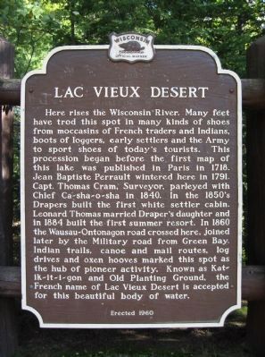
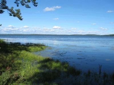
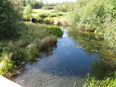
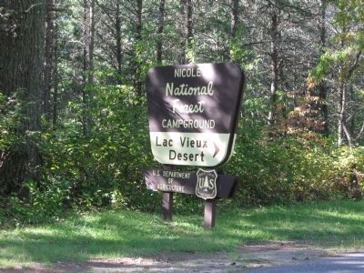
Here rises the Wisconsin River. Many feet have trod this spot in many kinds of shoes from moccasins of French traders and Indians, boots of loggers, early settlers and the Army to sport shoes of today's tourists. This procession began before the first map of this lake was published in Paris in 1718. Jean Baptiste Perrault wintered here in 1791. Capt. Thomas Cram, Surveyor, parleyed with Chief Ca-sha-o-sha in 1840. In the 1850's Drapers built the first white settler cabin. Leonard Thomas married Draper's daughter and in 1884 built the first summer resort. In 1860 the Wausau-Ontonagon road crossed here, joined later by the Military road from Green Bay. Indian trails, canoe and mail routes, log drives and oxen hooves marked this spot the hub of pioneer activity. Known as Kat-ik-it-i-gon and Old Planting Ground, the French name of Lac Vieux Desert is accepted for this beautiful body of water.
Erected 1960 by the Wisconsin Historical Society. (Marker Number 94.)
Topics and series. This historical marker is listed in these topic lists: Roads & Vehicles • Settlements & Settlers • Waterways & Vessels. In addition, it is included in the Wisconsin Historical Society series list. A significant historical year for this entry is 1718.
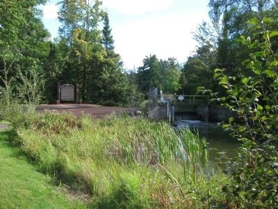
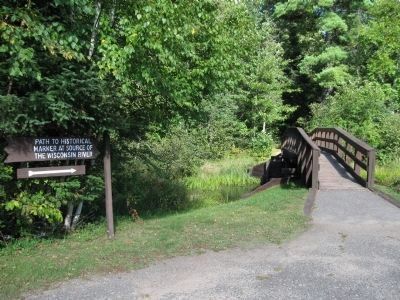
Location. 46° 7.289′ N, 89° 9.144′ W. Marker is near Land O' Lakes, Wisconsin, in Vilas County. Marker can be reached from West Shore Road, 0.3 miles north of County Highway E. Marker is located approximately 200 yards east of a small parking area that is along the road. Touch for map. Marker is in this post office area: Land O Lakes WI 54540, United States of America. Touch for directions.
Other nearby markers. At least 3 other markers are within 5 miles of this marker, measured as the crow flies. Thirty-Second Division Memorial Highway (approx. 2.9 miles away); Wisconsin River Headwaters (approx. 2.9 miles away); Wendy Lansbach Boglioli (approx. 4.2 miles away).
Also see . . . Lac Vieux Desert. Wikipedia entry (Submitted on March 3, 2022, by Larry Gertner of New York, New York.)
Credits. This page was last revised on May 12, 2023. It was originally submitted on September 19, 2010, by Keith L of Wisconsin Rapids, Wisconsin. This page has been viewed 1,535 times since then and 68 times this year. Last updated on May 12, 2023, by Gary Sonnenberg of Waukesha, Wisconsin. Photos: 1, 2, 3, 4, 5, 6, 7. submitted on September 19, 2010, by Keith L of Wisconsin Rapids, Wisconsin. • J. Makali Bruton was the editor who published this page.
