Wakefield in Sussex County, Virginia — The American South (Mid-Atlantic)
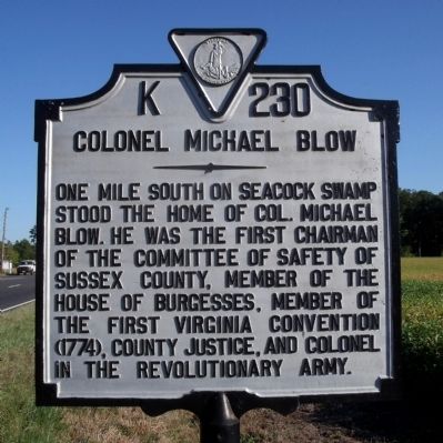
Colonel Michael Blow
Erected by Virginia Department of Historic Resources. (Marker Number K-230.)
Topics and series. This historical marker is listed in these topic lists: Patriots & Patriotism • War, US Revolutionary. In addition, it is included in the Virginia Department of Historic Resources (DHR) series list.
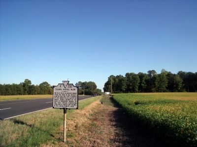
Location. 36° 57.768′ N, 76° 58.505′ W. Marker is in Wakefield, Virginia, in Sussex County. Marker is on General Mahone Highway (U.S. 460) 0.1 miles east of Cedar Lane, on the right when traveling east. Touch for map. Marker is in this post office area: Wakefield VA 23888, United States of America. Touch for directions.
Other nearby markers. At least 8 other markers are within 8 miles of this marker, measured as the crow flies. Wakefield Fountain Corner (approx. one mile away); Roadside Commerce (approx. 1.1 miles away); Sussex County / Southampton County (approx. 1.4 miles away); Early Peanut Crop (approx. 4.8 miles away); Ellis Preaching House (approx. 6 miles away); Surry Lumber Company (approx. 6.3 miles away); Surry, Sussex & Southampton Railway (approx. 6.3 miles away); Cypress Church (approx. 7.6 miles away). Touch for a list and map of all markers in Wakefield.
Credits. This page was last revised on July 9, 2021. It was originally submitted on September 20, 2010, by Bernard Fisher of Richmond, Virginia. This page has been viewed 1,233 times since then and 54 times this year. Photos: 1, 2. submitted on September 20, 2010, by Bernard Fisher of Richmond, Virginia.

