Near Spotsylvania Courthouse in Spotsylvania County, Virginia — The American South (Mid-Atlantic)
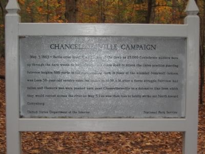
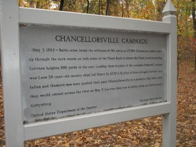
Chancellorsville Campaign
Erected by United States Department of the Interior - National Park Service.
Topics. This historical marker is listed in this topic list: War, US Civil. A significant historical date for this entry is May 3, 1718.
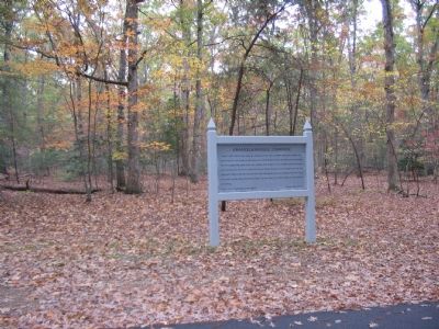
Location. 38° 18.618′ N, 77° 39.078′ W. Marker is near Spotsylvania Courthouse, Virginia, in Spotsylvania County. Marker is at the intersection of Stuart Drive and Plank Road / Germania Highway (Virginia Highway 3), on the left when traveling south on Stuart Drive. Located just to the north of Hazel Grove, stop nine on the driving tour of Chancellorsville Battlefield. Touch for map. Marker is at or near this postal address: 9200 Plank Rd, Spotsylvania VA 22553, United States of America. Touch for directions.
Other nearby markers. At least 8 other markers are within walking distance of this marker. Jackson (about 300 feet away, measured in a direct line); Brig. Gen. E. F. Paxton, C.S.A. (about 400 feet away); Jackson Monuments (about 400 feet away); Memorializing Jackson's Death (about 400 feet away); a different marker also named Chancellorsville Campaign (about 400 feet away); a different marker also named Chancellorsville Campaign (about 400 feet away); The Battle of Chancellorsville (about 500 feet away); Elisha Franklin Paxton (about 500 feet away). Touch for a list and map of all markers in Spotsylvania Courthouse.
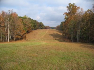
Regarding Chancellorsville Campaign. This is one of several markers for the Battle of Chancellorsville at Hazel Grove and Fairview, the central part of the battle. See the Hazel Grove - Fairview Virtual Tour by Markers in the links section for a listing of related markers on the tour.
Also see . . .
1. Battle of Chancellorsville. National Park Service site. (Submitted on November 17, 2007, by Craig Swain of Leesburg, Virginia.)
2. Hazel Grove - Fairview Virtual Tour by Markers. The Hazel Grove and Fairview portions of the battlefield (stops nine and ten on the driving tour of the battlefield). Markers along this tour include those on Stuart and Slocum Drives. (Submitted on November 18, 2007, by Craig Swain of Leesburg, Virginia.)
Credits. This page was last revised on July 9, 2021. It was originally submitted on November 17, 2007, by Craig Swain of Leesburg, Virginia. This page has been viewed 1,478 times since then and 12 times this year. Photos: 1. submitted on November 17, 2007, by Craig Swain of Leesburg, Virginia. 2. submitted on November 20, 2007, by Bill Coughlin of Woodland Park, New Jersey. 3, 4. submitted on November 17, 2007, by Craig Swain of Leesburg, Virginia.


