Near Battle Ground in Tippecanoe County, Indiana — The American Midwest (Great Lakes)
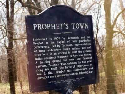
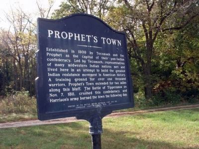
Prophet’s Town
Established in 1808 by Tecumseh and the Prophet as the capital of their pan-Indian confederacy. Led by Tecumseh, representatives of many midwestern Indian nations met and lived here in an attempt to build the greatest Indian resistance movement in American history. A training ground for over one thousand warriors, Prophet's Town extended for two miles along this bluff. The Battle of Tippecanoe on November 7, 1811, crushed this confederacy, and Harrison's army burned the town the following day.
Erected 1977 by Battle Ground Historical Corp. and the Tippecanoe County Historical Association.
Topics and series. This historical marker is listed in these topic lists: Military • Native Americans. In addition, it is included in the Indian Wars Battlefield Trails series list. A significant historical month for this entry is November 1823.
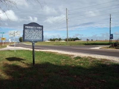
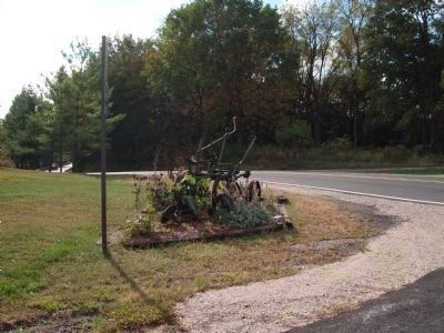
Location. 40° 29.823′ N, 86° 49.562′ W. Marker is near Battle Ground, Indiana, in Tippecanoe County. Marker is at the intersection of State Road 225 and Houston Road on State Road 225. Marker is in Tippecanoe Township. Touch for map. Marker is in this post office area: Battle Ground IN 47920, United States of America. Touch for directions.
Other nearby markers. At least 8 other markers are within 4 miles of this marker, measured as the crow flies. World War I Veterans Memorial (approx. 1.1 miles away); Stricken Down in the Performance of Duty (approx. 1.1 miles away); The Methodist Camp (approx. 1.1 miles away); Potawatomi ‘Trail of Death’ Route (approx. 1.1 miles away); The Battle of Tippecanoe (approx. 1.1 miles away); Tippecanoe Battlefield Memorial (approx. 1.2 miles away); Prophet’s Rock (approx. 1.4 miles away); Tecumseh Trail (approx. 3˝ miles away). Touch for a list and map of all markers in Battle Ground.
Also see . . .
1. Prophetstown State Park. Indiana Department of Natural Resources website entry (Submitted on April 12, 2006.)
2. Battle of Tippecanoe. Wikipedia entry (Submitted on November 15, 2021, by Larry Gertner of New York, New York.)
Credits. This page was last revised on November 15, 2021. It was originally submitted on April 7, 2006, by M. Bowyer of Indianapolis, Indiana. This page has been viewed 3,483 times since then and 77 times this year. Last updated on September 28, 2010. Photos: 1. submitted on April 7, 2006, by M. Bowyer of Indianapolis, Indiana. 2, 3. submitted on September 28, 2010. 4. submitted on April 12, 2006, by M. Bowyer of Indianapolis, Indiana. 5. submitted on September 28, 2010. 6. submitted on April 12, 2006, by M. Bowyer of Indianapolis, Indiana. • Bill Pfingsten was the editor who published this page.
