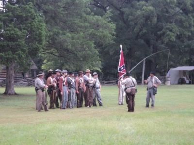
Bennett Place in Durham in Durham County, North Carolina — The American South (South Atlantic)
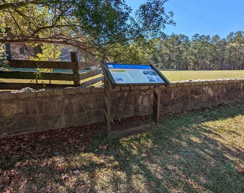
Bennett Place
The End of War
— Carolinas Campaign —
(Preface, upper left) :
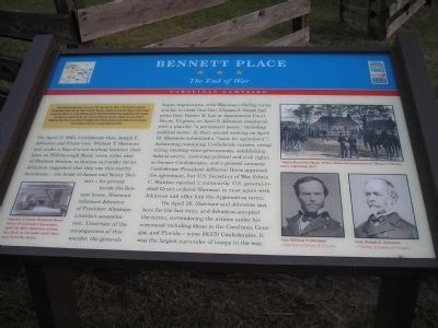
The Carolinas Campaign began on February 1, 1865, when Union Gen. William T. Sherman led his army north from Savannah, Georgia, after the “March to the Sea.” Sherman’s objective was to join Gen. Ulysses S. Grant in Virginia to crush Gen. Robert E. Lee’s Army of Northern Virginia. Scattered Confederate forces consolidated in North Carolina, the Confederacy’s logistical lifeline, where Sherman defeated Gen. Joseph E. Johnston’s last-ditch attack at Bentonville. After Sherman was reinforced at Goldsboro late March, Johnston saw the futility of further resistance and surrendered on April 26, essentially ending the Civil War.
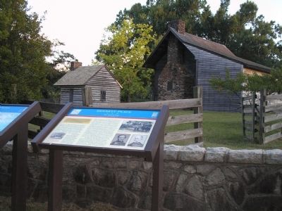
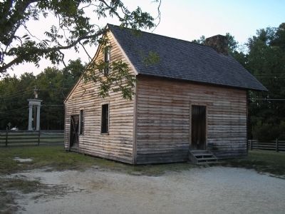
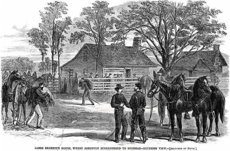
On April 17, 1865, Confederate Gen. Joseph E. Johnston and Union Gen. William T. Sherman met under a flag of truce midway between their lines on Hillsborough Road, seven miles west of Durham Station, to discuss surrender terms. Johnston suggested that they use this nearby farmhouse—the home of James and Nancy Bennett—for privacy.
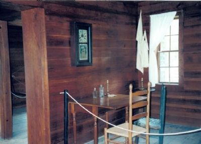
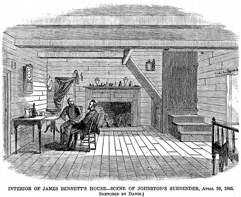
Inside the Bennett house, Sherman informed Johnson of President Abraham Lincoln’s assassination. Uncertain of the consequences of this murder, the generals began negotiations, with Sherman offering terms similar to those that Gen. Ulysses S. Grant had given Robert E. Lee at Appomattox Court House, Virginia, on April 9. Johnston countered with a plan for “a permanent peace,” including political terms. At their second meeting on April 18, Sherman submitted a “basis for agreement”: disbanding remaining Confederate armies, recognizing existing state governments, establishing federal courts, restoring political and civil right to former Confederates, and general amnesty. Confederate President Jefferson Davis approves the agreement, but U.S. Secretary of War Edwin C. Stanton rejected it summarily. U.S. general-in-chief Grant ordered Sherman to meet again with Johnston and offer him the Appomattox terms.
On April 26, Sherman and Johnston met here for the last time, and Johnston accepted the terms, surrendering the armies under his command including those in the Carolinas, Georgia, and Florida—some 89,270 Confederates. It was the largest surrender of troops in the war.
Erected by Civil War Trails.
Topics and series. This historical marker is listed in this topic list: War, US Civil. In addition, it is included in the North Carolina Civil War Trails series list. A significant historical month for this entry is February 1863.
Location. 36° 1.767′ N, 78° 58.439′ W. Marker is in Durham, North Carolina, in Durham County. It is in Bennett Place. Marker can be reached from the intersection of Bennett Memorial Road and Near Road. Touch for map. Marker is at or near this postal address: 4409 Bennett Memorial Road, Durham NC 27705, United States of America. Touch for directions.
Other nearby markers. At least 8 other markers are within 3 miles of this marker, measured as the crow flies. The Original Chimney of the Bennett House (a few steps from this marker); a different marker also named Bennett Place (within shouting distance of this marker); Unity (within shouting distance of this marker); Rotary Bandstand (within shouting distance of this marker); Meeting of the Generals (within shouting distance of this marker); Dorothy Kitchen: Durham Musician and Educator Extraordinaire (approx. 2.7 miles away); North Carolina (approx. 3 miles away); Duke Homestead (approx. 3 miles away). Touch for a list and map of all markers in Durham.
Credits. This page was last revised on December 1, 2023. It was originally submitted on November 18, 2007, by Bill Coughlin of Woodland Park, New Jersey. This page has been viewed 2,251 times since then and 26 times this year. Photos: 1. submitted on November 16, 2007, by Bill Coughlin of Woodland Park, New Jersey. 2. submitted on November 19, 2022, by Michael Buckner of Durham, North Carolina. 3. submitted on November 16, 2007, by Bill Coughlin of Woodland Park, New Jersey. 4. submitted on August 11, 2012, by Bill Coughlin of Woodland Park, New Jersey. 5. submitted on November 19, 2007, by Bill Coughlin of Woodland Park, New Jersey. 6. submitted on July 27, 2009, by Bill Coughlin of Woodland Park, New Jersey. 7, 8. submitted on December 1, 2023, by Allen C. Browne of Silver Spring, Maryland. 9. submitted on August 13, 2012, by Bill Coughlin of Woodland Park, New Jersey. • J. J. Prats was the editor who published this page.
