Near Spotsylvania Courthouse in Spotsylvania County, Virginia — The American South (Mid-Atlantic)
Artillery Duel
The Battle of Chancellorsville
— Fredericksburg and Spotsylvania National Military Park —
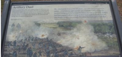
We...reached the brow of the hill where...our own cannon had been in action... [A] gruesome sight met our eyes; it was the bodies of nearly a hundred horses scattered around the field in the rear of where the artillery had been engaged; all were lying on their backs with their feet in the air, their bodies swollen enormously. Not along had men suffered and died.
Corporal Rice C. Bull, 123rd New York Infantry
Erected by National Park Service, U.S. Department of the Interior.
Topics. This historical marker is listed in this topic list: War, US Civil. A significant historical date for this entry is May 3, 1863.
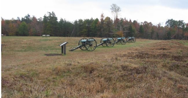
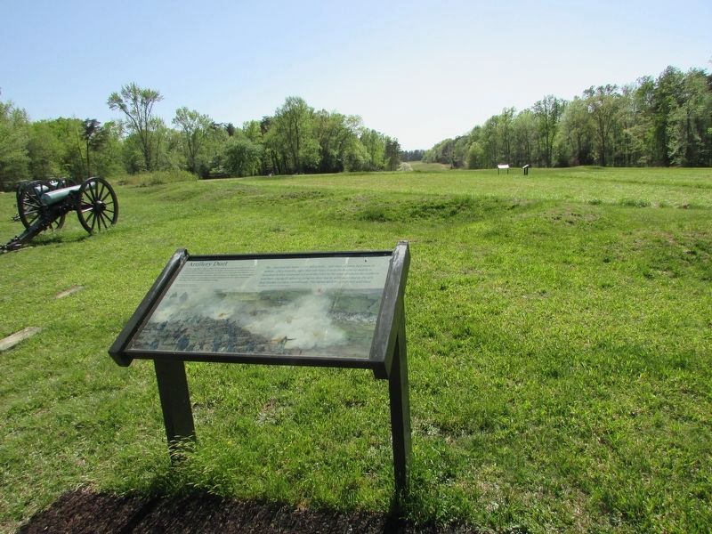
Location. 38° 18.446′ N, 77° 38.628′ W. Marker is near Spotsylvania Courthouse, Virginia, in Spotsylvania County. Marker can be reached from Berry Paxton Road, on the right when traveling west. Located at Fairview, stop ten of the driving tour of Chancellorsville Battlefield. The marker is also at stop five of the Hazel Grove-Fairview walking trail. Touch for map. Marker is in this post office area: Spotsylvania VA 22553, United States of America. Touch for directions.
Other nearby markers. At least 8 other markers are within walking distance of this marker. Jackson's Impact (within shouting distance of this marker); High Drama, Human Tragedy (within shouting distance of this marker); Ordeal of the Wounded (within shouting distance of this marker); Fairview (within shouting distance of this marker); a different marker also named Fairview (within shouting distance of this marker); Chancellor Cemetery (within shouting distance of this marker); Collis Zouaves (approx. 0.2 miles away); The 27th Indiana Infantry (approx. 0.2 miles away). Touch for a list and map of all markers in Spotsylvania Courthouse.
More about this marker. The background painting shows "Fairview during the peak of the artillery duel, about 9 a.m. on May 3."
Regarding Artillery Duel. This is one of several markers for the Battle of Chancellorsville at Hazel Grove and Fairview, the central part of the battle. See the Hazel Grove - Fairview Virtual Tour by Markers in the links section for a listing of related markers on the tour.
Also see . . .
1. Battle of Chancellorsville. National Parks Service site. (Submitted on November 18, 2007, by Craig Swain of Leesburg, Virginia.)
2. Hazel Grove - Fairview Walking Trail. A one mile walk through the scene of the heavy fighting on May 2-3, 1863. (Submitted on November 18, 2007, by Craig Swain of Leesburg, Virginia.)
3. Hazel Grove - Fairview Virtual Tour by Markers. The Hazel Grove and Fairview portions of the battlefield (stops nine and ten on the driving tour of the battlefield). Markers along this tour include those on Stuart and Slocum Drives. (Submitted on November 18, 2007, by Craig Swain of Leesburg, Virginia.)
Photographed By Craig Swain, November 10, 2007
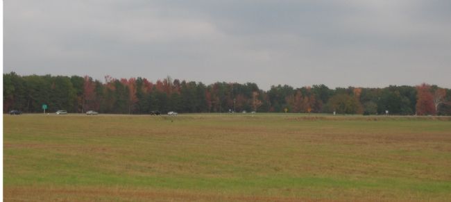
5. From Fairview looking back to Chancellor Clearing (Chancellor House)
Federal forces retired behind prepared positions in the distance at the Chancellorsville Inn. At the time of the battle, the foreground would have been littered with the debris of the battle to include the carcases of horses killed in the artillery duel. The cars are passing along Virginia Highway 3, generally where the Orange Turnpike ran at the time of the battle.
Credits. This page was last revised on April 25, 2023. It was originally submitted on November 18, 2007, by Craig Swain of Leesburg, Virginia. This page has been viewed 1,258 times since then and 10 times this year. Photos: 1, 2. submitted on November 18, 2007, by Craig Swain of Leesburg, Virginia. 3. submitted on April 24, 2023, by Bill Coughlin of Woodland Park, New Jersey. 4, 5. submitted on November 18, 2007, by Craig Swain of Leesburg, Virginia.
