Brackettville in Kinney County, Texas — The American South (West South Central)
Fort Clark
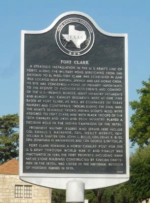
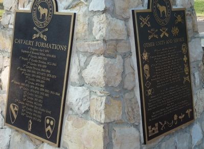
A strategic installation in the U.S. Army's line of forts along the military road stretching from San Antonio to El Paso, Fort Clark was established in June 1852. Located near natural springs and Las Moras Creek, its site was considered a point of primary importance to the defense of frontier settlements and control of the U.S. Mexico border. Many infantry regiments and almost all cavalry regiments were at one time based at Fort Clark, as well as companies of Texas Rangers and Confederate troops during the Civil War. The Army's Seminole-Negro Indian Scouts also were assigned to Fort Clark, and with Black troops of the 10th Cavalry and 24th and 25th Infantry played a decisive role in the Indian campaigns of the 1870s.
Prominent military leaders who served here include Col. Ranald S. Mackenzie, Gen. Wesley Merritt, Gen. William R. Shafter, Gen. John L. Bullis, Gen. Zenas R. Bliss, Gen. Jonathan M. Wainwright, and Gen. George S. Patton, Jr.
Fort Clark remained a horse-cavalry post for the U.S. Army through World War II and finally was inactivated in 1946. The fort property, including many native stone buildings constructed by civilian craftsmen in the 1870s, was listed in the National Register of Historic Places in 1979.
Erected 1994 by Texas Historical Commission. (Marker Number 1975.)
Topics and series. This historical marker is listed in these topic lists: African Americans • Native Americans • War, World II • Wars, US Indian. In addition, it is included in the San Antonio-El Paso Road series list.
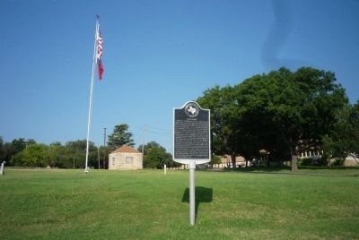
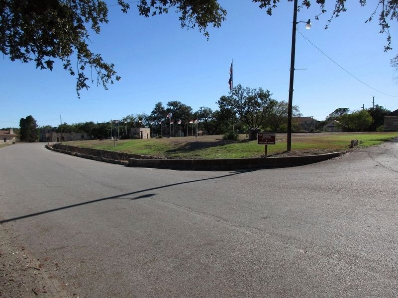
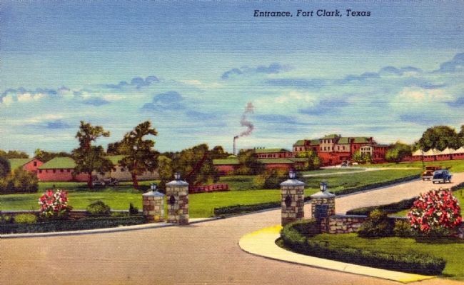
Location. 29° 18.413′ N, 100° 25.089′ W. Marker is in Brackettville, Texas, in Kinney County. Marker is on Bowie Street east of Main Street. Marker is near the entrance to Fort Clark off U.S. Highway 90. Touch for map. Marker is in this post office area: Brackettville TX 78832, United States of America. Touch for directions.
Other nearby markers. At least 8 other markers are within walking distance of this marker. Army Service Club (within shouting distance of this marker); Fort Clark Historic District (about 300 feet away, measured in a direct line); Juan A. Avila 1921-2008 (about 500 feet away); New Cavalry Barracks (about 600 feet away); Officers' Club Open Mess (about 700 feet away); Military Roads in Texas (about 700 feet away); Fort Clark Guardhouse (about 700 feet away); 2nd Cavalry Division at Fort Clark (about 700 feet away). Touch for a list and map of all markers in Brackettville.
Also see . . . The Lipan Apache Tribe. Official Tribal website homepage (Submitted on January 9, 2023, by Larry Gertner of New York, New York.)
Additional keywords. United States Scouts; Lipan Apache; Tonkawa; Fort Clark Springs.
Credits. This page was last revised on October 20, 2023. It was originally submitted on October 2, 2010, by Richard E. Miller of Oxon Hill, Maryland. This page has been viewed 1,356 times since then and 73 times this year. Last updated on October 18, 2023, by Jeff Leichsenring of Garland, Texas. Photos: 1, 2, 3, 4, 5. submitted on October 2, 2010, by Richard E. Miller of Oxon Hill, Maryland. 6. submitted on October 18, 2023, by Jeff Leichsenring of Garland, Texas. 7. submitted on May 1, 2012, by William F Haenn of Fort Clark (Brackettville), Texas. • James Hulse was the editor who published this page.
