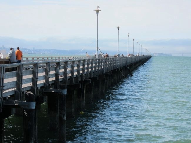
Berkeley Marina in Alameda County, California — The American West (Pacific Coastal)
Berkeley Municipal Pier
Berkeley History
— 1926 —
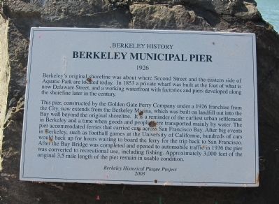
Berkeley's original shoreline was about where Second Street and the eastern side of Aquatic Park are located today. In 1853 a private wharf was built at the foot of what is now Delaware Street, and a working waterfront with factories and piers developed along the shoreline later in the century.
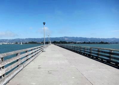
This pier, constructed by the Golden Gate Ferry Company under a 1926 franchise from the City, now extends from the Berkeley Marina, which was built on landfill out into the Bay well beyond the original shoreline. It is a reminder of the earliest urban settlement in Berkeley and a time when goods and people were transported mainly by water. The pier accommodated ferries that carried cars across San Francisco Bay. After big events in Berkeley, such as football games at the University of California, hundreds of cars would back up for hours waiting to board the ferry back to San Francisco. After the Bay Bridge was completed and opened to automobile traffic in 1936 the pier was converted to recreational use, including fishing. Approximately 3,000 feet of the original 3.5 mile length of the pier remain in usable condition.
Erected 2003 by Berkeley Historical Plaque Project.
Topics. This historical marker is listed in these topic lists: Animals • Parks & Recreational Areas • Waterways & Vessels. A significant historical year for this entry is 1853.
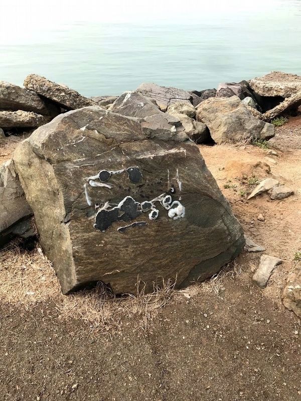
Location. Marker has been reported missing. It was located near 37° 51.764′ N, 122° 19.049′ W. Marker was in Berkeley, California, in Alameda County. It was in Berkeley Marina. Marker was at the intersection of Seawall Drive and University Avenue, on the right when traveling south on Seawall Drive. Touch for map. Marker was in this post office area: Berkeley CA 94710, United States of America. Touch for directions.
Other nearby markers. At least 8 other markers are within 2 miles of this location, measured as the crow flies. Spenger’s Fish Grotto (approx. one mile away); Delaware Street Historic District (approx. 1.1 miles away); Workingman’s Hall (approx. 1.2 miles away); Bowen’s Inn/Higgins Grocery (approx. 1.2 miles away); Site of Pump House - Peet Brothers/Colgate Palmolive (approx. 1.2 miles away); 935 Hearst Avenue (approx. 1.3 miles away); Church of the Good Shepherd (approx. 1.3 miles away); Philadelphia Quartz Company (approx. 1.4 miles away). Touch for a list and map of all markers in Berkeley.
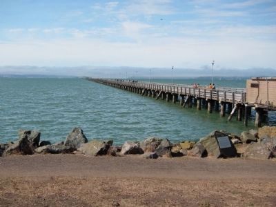
More about this marker. The marker is mounted on a low rock just a few steps to the south of the foot of the Berkeley Municipal Pier.
Photographed By Andrew Ruppenstein, October 2, 2010
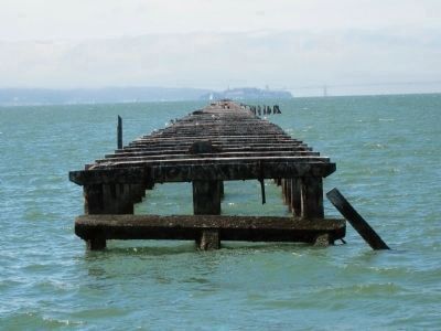
5. Pier Remnants
This view, looking west from the end of the pier, shows the remnants of the pier that were allowed to decay after the pier was converted to recreational use. A channel wide enough to sail boats through was created between the still-in-use part of the pier and the part of the pier that was allowed to decay. Faintly visible in the background are Alcatraz Island (at the pier tip), part of the Golden Gate Bridge (to the right of the pier), and San Francisco (to the left).
Credits. This page was last revised on February 7, 2023. It was originally submitted on October 4, 2010, by Andrew Ruppenstein of Lamorinda, California. This page has been viewed 1,477 times since then and 29 times this year. Last updated on September 12, 2020, by Diane Phillips of Pittsburg, California. Photos: 1. submitted on October 4, 2010, by Andrew Ruppenstein of Lamorinda, California. 2. submitted on September 12, 2020, by Diane Phillips of Pittsburg, California. 3, 4, 5, 6. submitted on October 4, 2010, by Andrew Ruppenstein of Lamorinda, California. • J. Makali Bruton was the editor who published this page.
