Near Blanding in San Juan County, Utah — The American Mountains (Southwest)
Utah
(Four Corners)
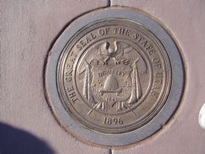
Mormon settlers declared the Provisional State of Deseret in 1849. The Congressional Compromise of 1850 created the territories of Utah and New Mexico, separating the free north from the slave South along the 37th parallel of latitude.
U.S. Surveyor Howard B. Carpenter established the territorial line between Arizona and Utah in 1901, running from West to East, ending the survey at the Four Corners Monument.
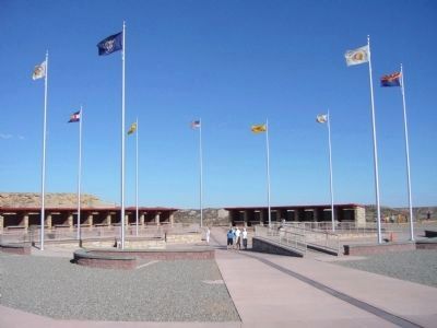
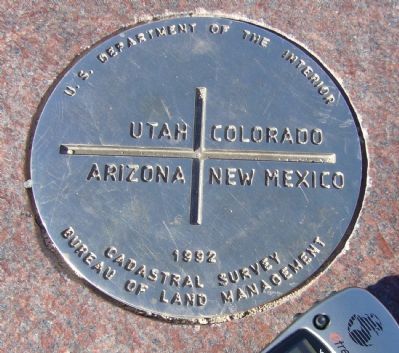
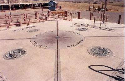
Today, the Four Corners Monument marks the point where the Navajo Nation, the Ute Mountain Ute Reservation, and the States of Arizona, Colorado, New Mexico and Utah meet in peace.
Erected 2010 by National Society of Professional Surveyors.
Topics. This historical marker is listed in this topic list: Notable Places. A significant historical year for this entry is 1849.
Location. 36° 59.95′ N, 109° 2.72′ W. Marker is near Blanding, Utah, in San Juan County. Marker can be reached from 4 Corners Road, half a mile west of U.S. 160. Touch for map . Marker is in this post office area: Blanding UT 84511, United States of America. Touch for directions.
Other nearby markers. At least 6 other markers are within 12 miles of this marker, measured as the crow flies. Arizona (a few steps from this marker in Arizona); Colorado (a few steps from this marker in Colorado); New Mexico (within shouting distance of this marker in New Mexico); Four Corners – A Common Bond (within shouting distance of this marker in New Mexico); Welcome to Four Corners Monument! (approx. ¼ mile away in New Mexico); Beclabito Dome (approx. 11.7 miles away in New Mexico).
More about this marker. This park is currently open 7 days a week 7:00am - 7:00pm (DST)
Park Fee:
$3.00 per person
Credits. This page was last revised on June 16, 2016. It was originally submitted on October 4, 2010, by Bill Kirchner of Tucson, Arizona. This page has been viewed 810 times since then and 15 times this year. Photos: 1, 2, 3, 4. submitted on October 4, 2010, by Bill Kirchner of Tucson, Arizona. 5. submitted on October 5, 2010, by Mike Stroud of Bluffton, South Carolina. • Syd Whittle was the editor who published this page.


