Walloomsac in Rensselaer County, New York — The American Northeast (Mid-Atlantic)
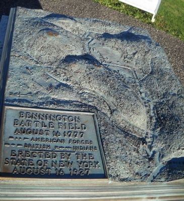
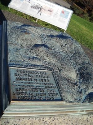
Bennington Battle Field
August 16, 1777
- ♦ → British x → → Indians
---------------
Erected by the
State of New York
August 16, 1927
Erected 1927 by State of New York.
Topics. This historical marker is listed in this topic list: War, US Revolutionary. A significant historical year for this entry is 1927.
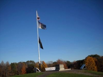
Location. 42° 56.307′ N, 73° 18.258′ W. Marker is in Walloomsac, New York, in Rensselaer County. Marker can be reached from New York State Route 67, on the left when traveling east. Marker is located in Bennington Battlefield State Historic Site. Touch for map. Marker is in this post office area: Hoosick Falls NY 12090, United States of America. Touch for directions.
Other nearby markers. At least 8 other markers are within walking distance of this marker. A Gathering Storm (here, next to this marker); “Had day lasted an hour longer . . .” (here, next to this marker); “the first link in the chain of successes which issued in the surrender at Saratoga ...” (here, next to this marker); Bennington Battlefield (a few steps from this marker); Patriots of Vermont (a few steps from this marker); Massachusetts Volunteers at Bennington (within shouting distance of this marker); New Hampshire Troops (within shouting distance of this marker); New Hampshire Regiment (within shouting distance of this marker). Touch for a list and map of all markers in Walloomsac.
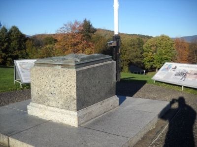
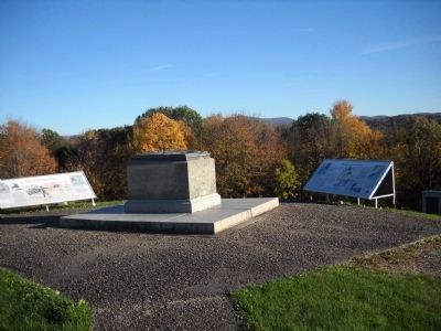
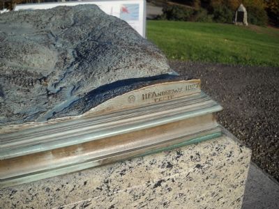
More about this marker. The marker consists of a three dimemsional topographical map of the Bennington Battlefield with troop movements indicated.
Also see . . .
1. Bennington Battlefield State Historic Site. New York State Office of Parks, Recreation & Historic Preservation website. (Submitted on October 16, 2010, by Bill Coughlin of Woodland Park, New Jersey.)
2. The Battle of Bennington. The American Revolutionary War website. (Submitted on October 16, 2010, by Bill Coughlin of Woodland Park, New Jersey.)
3. The Battle of Bennington. British Battles entry:
An account of the Battle of Bennington from a British perspective (Submitted on October 16, 2010, by Bill Coughlin of Woodland Park, New Jersey.)
Photographed By Bill Coughlin, October 9, 2010
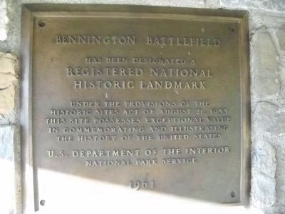
7. National Historic Landmark Marker
Bennington Battlefield
has been designated a
Registered National
Historic Landmark
Under the provisions of the
Historic Sites Act of August 21, 1935
this site possesses exceptional value
in commemorating and illustrating
the history of the United States.
U.S. Department of the Interior
National Park Service
1961
Credits. This page was last revised on February 20, 2021. It was originally submitted on October 16, 2010, by Bill Coughlin of Woodland Park, New Jersey. This page has been viewed 873 times since then and 31 times this year. Photos: 1, 2, 3, 4, 5, 6, 7. submitted on October 16, 2010, by Bill Coughlin of Woodland Park, New Jersey.
