Peekskill in Westchester County, New York — The American Northeast (Mid-Atlantic)
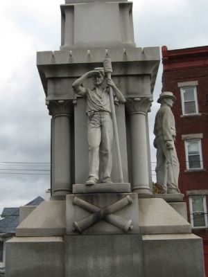
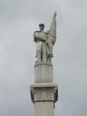
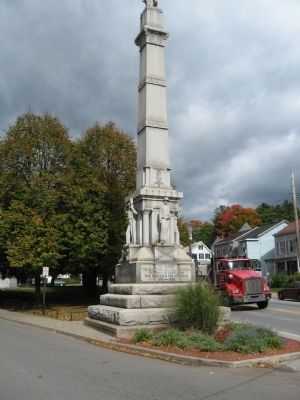
Cortlandt Civil War Monument
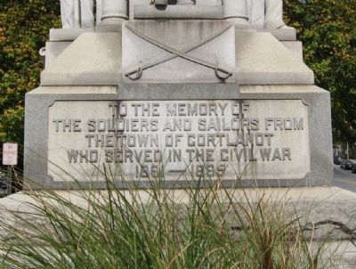
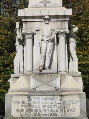
[ south side ]
The Soldiers and Sailors From
The Town of Cortlandt
Who Served in the Civil War
1861 - 1865
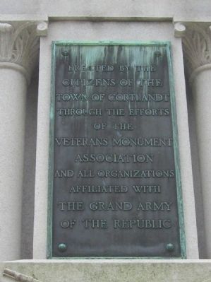
[ bronze plaque on north side ]
Citizens of The
Town of Cortlandt
Through the Efforts
of the
Veterans Monument
Association
And All Organizations
Affiliated With
The Grand Army
Of The Republic
[ battle names inscribed on the column ]
Fort Fisher • Cold Harbor • Wilderness • Appomattox • Cedar Creek • Vicksburg • Gettysburg • Antietam
Erected 1916.
Topics. This historical marker and monument is listed in this topic list: War, US Civil. A significant historical year for this entry is 1861.
Location. 41° 17.654′ N, 73° 55.135′ W. Marker is in Peekskill, New York, in Westchester County. Marker is at the intersection of North Division Street and Cortlandt Street, on the left when traveling north on North Division Street. Located in Monument Park. Touch for map. Marker is in this post office area: Peekskill NY 10566, United States of America. Touch for directions.
Other nearby markers. At least 8 other markers are within 2 miles of this marker, measured as the crow flies. Peekskill World War I Monument (within shouting distance of this marker); Peekskill Veterans Memorial (within shouting distance of this marker); America’s Most Famous Cannon (approx. 0.4 miles away); Teachers Park (approx. 0.4 miles away); Jan Peeck Bridge (approx. 0.9 miles away); Peekskill F.D.N.Y. Memorial (approx. 0.9 miles away); Countess Lucille VI (approx. 1.2 miles away); Camp Smith (approx. 1.3 miles away). Touch for a list and map of all markers in Peekskill.
Credits. This page was last revised on June 16, 2016. It was originally submitted on October 19, 2010, by Michael Herrick of Southbury, Connecticut. This page has been viewed 1,339 times since then and 63 times this year. Photos: 1, 2, 3, 4, 5, 6, 7. submitted on October 19, 2010, by Michael Herrick of Southbury, Connecticut.
