Near Custer in Custer County, South Dakota — The American Midwest (Upper Plains)
Jasper vs. Jewel
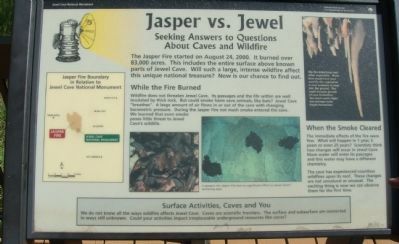
Seeking Answers to Questions About Caves and Wildfires
While the Fire Burned
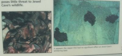
Wildfire does not threaten Jewel Cave. Its passages and the life within are well insulated by thick rock. But could smoke harm cave animals, like bats? Jewel Cave "breathes". A large amount of air flows in or out of the cave with changing barometric pressure. During the Jasper Fire not much smoke entered the cave. We learned that even smoke poses little threat to Jewel Cave wildlife.
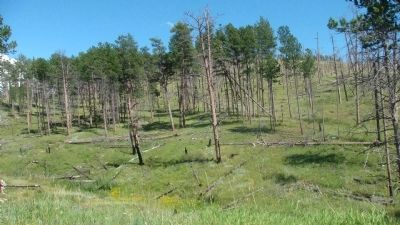
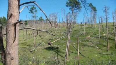
Caption for upper right photo: The fire killed trees and other vegetation. Water that would have been used by this vegetation is now available to seep into the ground. This could increase growth of cave formations. Too much water might also damage some fragile formations.
When the Smoke Cleared
The immediate effects of the fire were few. What will happen in 1 year, 5 years or even 25 years? Scientists think two changes will occur in Jewel Cave. More water will enter its passages and this water may have a different chemistry.
The cave has experienced countless wildfires upon its roof. These changes are not unnatural or unusual. The exciting thing is now we can observe them for the first time.
Surface Activities, Caves and You
We do not know all the ways wildfire affects Jewel Cave. Caves are scientific frontiers. The surface and subsurface are connected in ways still unknown. Could your activities impact irreplaceable underground resources like caves?
Map title: Jasper Fire Boundary in Relation to Jewel Cave National Monument
Erected by the National Park Service of the U.S. Department of the Interior.
Topics. This historical marker is listed in these topic lists: Disasters • Environment. A significant historical year for this entry is 2000.
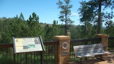
Location. 43° 43.79′ N, 103° 49.778′ W. Marker is near Custer, South Dakota, in Custer County. Marker is at the intersection of U.S. 16 and Jewel Cave National Monument Entrance Road, on the left when traveling west on U.S. 16. The marker is at the Jewel Cave National Monument Vistor Center. Touch for map. Marker is in this post office area: Custer SD 57730, United States of America. Touch for directions.
Other nearby markers. At least 7 other markers are within 12 miles of this marker, measured as the crow flies. Prescribed Fire (here, next to this marker); Jasper Fire (approx. 1˝ miles away); Civilian Conservation Corps Camp (approx. 4.3 miles away); Comanche Park
(approx. 5.8 miles away); Landscapes & Logging (approx. 11 miles away); Crazy Horse Memorial (approx. 11.3 miles away); The Hearst Highway (approx. 11.3 miles away).
Also see . . . Jewel Cave - National Park Service. (Submitted on October 26, 2010, by Bill Pfingsten of Bel Air, Maryland.)
Credits. This page was last revised on June 16, 2016. It was originally submitted on October 20, 2010, by William J. Toman of Green Lake, Wisconsin. This page has been viewed 850 times since then and 21 times this year. Photos: 1, 2, 3, 4, 5. submitted on October 20, 2010, by William J. Toman of Green Lake, Wisconsin. • Bill Pfingsten was the editor who published this page.
