Millsboro in Sussex County, Delaware — The American Northeast (Mid-Atlantic)
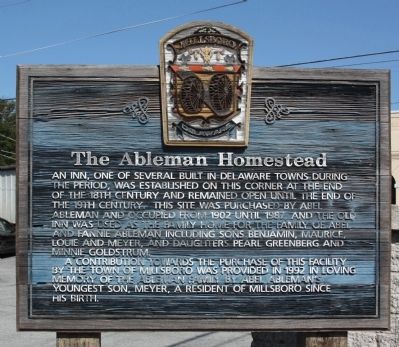
The Ableman Homestead
An inn, one of several built in Delaware towns during this period, was established on this corner at the end of the 18th century and remained open until the end of the 19th century. This site was purchased by Abel Ableman and occupied from 1902 until 1987, and the old inn was used as the family home for the family of Abel and Fannie Ableman including sons Benjamin, Maurice, Louie and Meyer, and daughters Pearl Greenberg and Minnie Goldstrum.
A contribution towards the purchase of this facility by the town of Millsboro was provided in 1992 in loving memory of the Ableman family by Abel Ableman's youngest son, Meyer, a resident of Millsboro since his birth.
Erected by Millsboro Delaware.
Topics. This historical marker is listed in this topic list: Notable Buildings. A significant historical year for this entry is 1902.
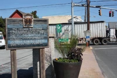
Location. 38° 35.493′ N, 75° 17.488′ W. Marker is in Millsboro, Delaware, in Sussex County. Marker is on Main Street (Delaware Route 24/30) near West State Street (County Route 326), on the left when traveling north. Touch for map. Marker is in this post office area: Millsboro DE 19966, United States of America. Touch for directions.
Other nearby markers. At least 8 other markers are within walking distance of this marker. Ball Theatre / Millstone Theatre (within shouting distance of this marker); Home of John J. Williams (within shouting distance of this marker); Saint Mark's Episcopal Church (about 500 feet away, measured in a direct line); Grace United Methodist Church (about 600 feet away); Home of Richard S. Cordrey (about 700 feet away); Indian River Hundred (approx. ¼ mile away); Askekesky (approx. ¼ mile away); Town of Millsboro (approx. 0.4 miles away). Touch for a list and map of all markers in Millsboro.
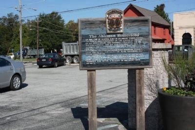
Regarding The Ableman Homestead. Today, a city public parking lot is at this corner site
Credits. This page was last revised on January 17, 2021. It was originally submitted on October 27, 2010, by Mike Stroud of Bluffton, South Carolina. This page has been viewed 835 times since then and 25 times this year. Photos: 1, 2, 3. submitted on October 27, 2010, by Mike Stroud of Bluffton, South Carolina.


