Baxter Springs in Cherokee County, Kansas — The American Midwest (Upper Plains)
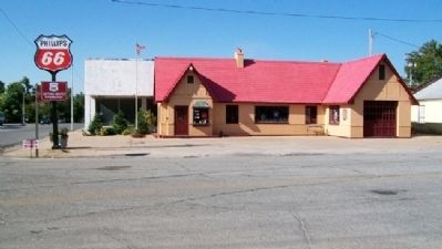
Phillips 66 Petroleum Company Gas Station
Inscription.
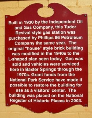
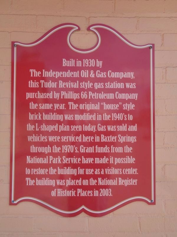
and Gas Company, this Tudor
Revival style gas station was
purchased by Phillips 66 Petroleum
Company the same year. The
original "house" style brick building
was modified in the 1940s to the
L-shaped plan seen today. Gas was
sold and vehicles were serviced
here in Baxter Springs through the
1970s. Grant funds from the
National Park Service have made it
possible to restore the building for
use as a visitors' center. The
building was placed on the National
Register of Historic Places in 2003.
Topics. This historical marker is listed in these topic lists: Industry & Commerce • Roads & Vehicles. A significant historical year for this entry is 1930.
Location. 37° 1.551′ N, 94° 44.086′ W. Marker is in Baxter Springs, Kansas, in Cherokee County. Marker is at the intersection of Military Avenue and 10th Street, on the right when traveling north on Military Avenue. Touch for map. Marker is at or near this postal address: 940 Military Avenue, Baxter Springs KS 66713, United States of America. Touch for directions.
Other nearby markers. At least 8 other markers are within walking distance of this marker. Bischosberger Hotel (within shouting distance of this marker); Ohlen's Restaurant and Bakery (within shouting distance of this marker); Polster Dry Goods Store (within shouting distance of this marker); Murder of C. M. Taylor (about 300 feet away, measured in a direct line); Drovers' and Farmers' Bank (about 300 feet away); Opperman Harness and Saddle Shop (about 300 feet away); Chicago Drug Store (about 400 feet away); Illinois Cash Store (about 400 feet away). Touch for a list and map of all markers in Baxter Springs.
Also see . . .
1. Baxter Springs Heritage Center and Museum. Museum website homepage (Submitted on October 30, 2010, by William Fischer, Jr. of Scranton, Pennsylvania.)
2. Route 66 in Kansas. Kansas Travel website entry (Submitted on October 30, 2010, by William Fischer, Jr. of Scranton, Pennsylvania.)
Credits. This page was last revised on March 6, 2024. It was originally submitted on October 30, 2010, by William Fischer, Jr. of Scranton, Pennsylvania. This page has been viewed 1,377 times since then and 27 times this year. It was the Marker of the Week November 7, 2010. Photos: 1. submitted on October 30, 2010, by William Fischer, Jr. of Scranton, Pennsylvania. 2. submitted on April 11, 2021, by Jason Voigt of Glen Carbon, Illinois. 3. submitted on October 30, 2010, by William Fischer, Jr. of Scranton, Pennsylvania.


