Aldie in Loudoun County, Virginia — The American South (Mid-Atlantic)
Battle of Aldie
The Fight Begins
— Gettysburg Campaign —
After Confederate Gen. Robert E. Lee's stunning victory at Chancellorsville in May 1863, he led the Army of Northern Virginia west to the Shenandoah Valley, then north through central Maryland and across the Mason-Dixon Line into Pennsylvania. Union Gen. George G. Meade, who replaced Gen. Joseph Hooker on June 28, led the Army of the Potomac in pursuit. The armies collided at Gettysburg on July 1, starting a battle that neither general planned to fight there. Three days later, the defeated Confederates retreated, crossing the Potomac River into Virginia on July 14.
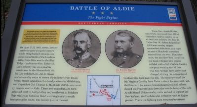
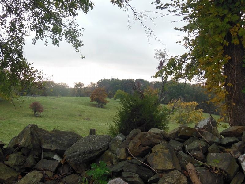
On June 17-21, 1863, several cavalry battles erupted along the narrow roads, steep-banked streams, and stone-walled fields of the Loudoun Valley from Aldie west to the Blue Ridge. Confederate Gen. Robert E. Lee's infantry was on a stealthy march west to the Shenandoah Valley. Lee ordered Gen. J.E.B. Stuart and his cavalry corps to screen the infantry from Union forces. Stuart established his headquarters in Middleburg and dispatched Col. Thomas T. Munford's 2,000-man cavalry brigade east to Aldie. There, two macadamized turnpikes led west to Ashby's Gap and northwest to Snickers Gap, while the Carolina Road, a strategic north-south transportation route, was located just to the east.
Union Gen. Joseph Hooker meanwhile, instructed Gen. Alfred Pleasonton and his cavalry corps to find Lee's infantry. On June 17, Union Gen. H. Judson Kilpatrick's 1,200-man cavalry brigade approached Aldie from your right as part of Munford's command entered from the west. That afternoon, the 2nd New York Cavalry at the head of Kilpatricks's column collided with a 2nd Virginia Cavalry company scouting east of here. The New Yorkers drew sabers and charged, driving the outnumbered Confederates back past the mill. The noise attracted the 5th Virginia Cavalry from Dover a short distance west, and the Southern horsemen, brandishing pistols and sabers chased the Federals back down the road in front of the mill. As additional Union cavalry units arrived to support the New Yorkers, the Confederates withdrew west to higher ground. There the fighting soon resumed in earnest.
Erected 2007 by Virginia Civil War Trails.
Topics and series. This historical marker is listed in this topic list: War, US Civil. In addition, it is included in the Virginia Civil War Trails series list. A significant historical month for this entry is May 1863.
Location. 38° 58.521′ N, 77° 38.465′ W. Marker is in Aldie, Virginia, in Loudoun County. Marker is on John Mosby Highway (U.S. 50), on the right when traveling east. The marker is in the parking lot for the Aldie Mill Historic Site.
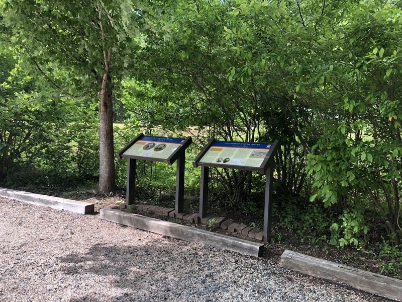
Other nearby markers. At least 8 other markers are within walking distance of this marker. Lee Moves North Again (here, next to this marker); A Freedom Seeker from Aldie: The Story of Daniel Dangerfield (here, next to this marker); The Aldie Mill (a few steps from this marker); Slashing Sabers (a few steps from this marker); Waterpower System (within shouting distance of this marker); The Milling Complex (within shouting distance of this marker); a different marker also named Aldie Mill (within shouting distance of this marker); Mercer’s Home (about 500 feet away, measured in a direct line). Touch for a list and map of all markers in Aldie.
More about this marker. The marker features portraits of Col. Thomas Munford and Gen. H. Judson Kilpatrick. A map depicting the maneuvers discussed in the text is displayed in the lower center.
Related markers. Click here for a list of markers that are related to this marker. The Battle of Aldie by Markers
Credits. This page was last revised on May 22, 2021. It was originally submitted on November 27, 2007, by Craig Swain of Leesburg, Virginia. This page has been viewed 4,159 times since then and 58 times this year. Photos: 1. submitted on November 27, 2007, by Craig Swain of Leesburg, Virginia. 2. submitted on May 29, 2020, by Devry Becker Jones of Washington, District of Columbia. 3. submitted on November 27, 2007, by Craig Swain of Leesburg, Virginia. 4. submitted on April 26, 2021, by Bradley Owen of Morgantown, West Virginia.


