Capitol Hill in Salt Lake City in Salt Lake County, Utah — The American Mountains (Southwest)
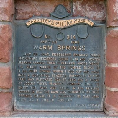
Warm Springs
Erected 1965 by Daughters of Utah Pioneers. (Marker Number 314.)
Topics and series. This historical marker is listed in these topic lists: Environment • Settlements & Settlers. In addition, it is included in the Daughters of Utah Pioneers series list. A significant historical date for this entry is July 26, 1935.
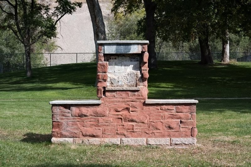
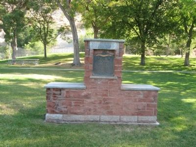
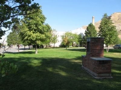
Location. Marker is missing. It was located near 40° 47.283′ N, 111° 53.967′ W. Marker was in Salt Lake City, Utah, in Salt Lake County. It was in Capitol Hill. Marker was on N 300 W. Marker is located just south of the old children's museum and across the street from Wasatch Springs Animal Hospital in Warm Springs Park. Touch for map. Marker was at or near this postal address: 860 N 300 W, Salt Lake City UT 84103, United States of America. Touch for directions.
Other nearby markers. At least 8 other markers are within walking distance of this location. Fur Trappers and Traders (a few steps from this marker); The View (approx. 0.6 miles away); Gathering to Zion (approx. 0.6 miles away); A Prophetic Mandate (approx. 0.6 miles away); An Ensign to the Nations (approx. 0.6 miles away); The Chosen Place (approx. 0.6 miles away); This is the Place (approx. 0.6 miles away); Ensign Peak (approx. 0.6 miles away). Touch for a list and map of all markers in Salt Lake City.
Credits. This page was last revised on February 16, 2023. It was originally submitted on November 1, 2010, by Jack Duffy of West Jordan, Utah. This page has been viewed 1,073 times since then and 52 times this year. Last updated on October 14, 2018, by Andrew Johnson of Salt Lake City, Utah. Photos: 1. submitted on November 1, 2010, by Jack Duffy of West Jordan, Utah. 2. submitted on October 14, 2018, by Andrew Johnson of Salt Lake City, Utah. 3, 4. submitted on November 1, 2010, by Jack Duffy of West Jordan, Utah. • Andrew Ruppenstein was the editor who published this page.


