Upperville in Fauquier County, Virginia — The American South (Mid-Atlantic)
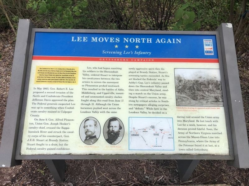
Lee Moves North Again
Screening Lee's Infantry
— Gettysburg Campaign —
After Confederate Gen. Robert E. Lee's stunning victory at Chancellorsville in May 1863, he led the Army of Northern Virginia west to the Shenandoah Valley, then north through central Maryland and across the Mason-Dixon Line into Pennsylvania. Union Gen. George G. Meade, who replaced Gen. Joseph Hooker on June 28, led the Army of the Potomac in pursuit. The armies collided at Gettysburg on July 1, starting a battle that neither general planned to fight there. Three days later, the defeated Confederates retreated, crossing the Potomac River into Virginia on July 14.
In May 1863, Gen. Robert E. Lee proposed a second invasion of the North and Confederate President Jefferson Davis approved the plan. The Federal generals suspected Lee was up to something when Confederate cavalry massed in Culpeper County.
On June 9, Gen. Alfred Pleasonton, Union Gen. Joseph Hooker's cavalry chief, crossed the Rappahannock River and struck the cavalry corps of his counterpart, Gen. J.E.B. Stuart at Brandy Station. Stuart fought to a draw, but the Federal cavalry gained confidence.
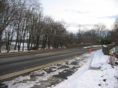
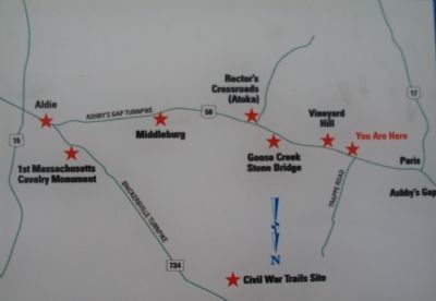
Lee, who begun marching his soldiers to the Shenandoah Valley, ordered Stuart to interpose his cavalrymen between the two armies to screen the movement as Pleasonton probed westward. This resulted in the battles of Aldie, Middleburg, and Upperville, mounted and unmounted cavalry clashes fought along this road from June 17 through 21. Although the Union horsemen pushed west across the Loudoun Valley with the same newly aggressive spirit they displayed at Brandy Station, Stuart's screening tactics succeeded. As Stuart blocked the Federals' way to Ashby's Gap, Lee's infantry passed down the Shenandoah Valley and then into central Maryland, stealing a march on the Union army. Despite Stuart's success, he was stung by critical articles in Southern newspapers alleging surprises and "defeats." While here in Loudoun Valley, he decided on a daring raid around the Union army into Maryland. He lost touch with Lee for a week, however, and his decision proved fateful. Soon, the Army of Northern Virginia marched across the Mason-Dixon Line into Pennsylvania, where the Army of the Potomac found it at last, at a town called Gettysburg.
Erected 2008 by Virginia Civil War Trails.
Topics and series. This historical marker is listed in this topic list: War, US Civil. In addition, it is included in the Virginia Civil War Trails series list. A significant historical month for this entry is May 1863.
Location. 38° 59.756′ N, 77° 53.471′ W. Marker is in Upperville, Virginia, in Fauquier County. Marker is at the intersection of John Mosby Highway (U.S. 50)
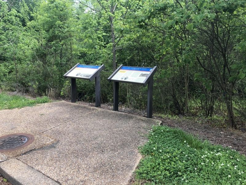
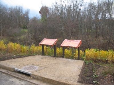
Other nearby markers. At least 8 other markers are within one mile of this marker, measured as the crow flies. Battle of Upperville (here, next to this marker); Mary Elizabeth Conover Mellon (approx. half a mile away); This Stone (approx. half a mile away); The Upperville Library (approx. 0.6 miles away); The Armistead House (approx. 0.6 miles away); The Gibson House (approx. 0.7 miles away); The Smith House (approx. 0.8 miles away); a different marker also named Battle of Upperville (approx. one mile away). Touch for a list and map of all markers in Upperville.
More about this marker. The marker displays portraits of Gen. Alfred Pleasonton and Gen. J.E.B. Stuart in the center. An "Edwin Forbes drawing of cavalry fight near Aldie, June 1863," is on the upper right. A map details important sites related to the cavalry battles in Loudoun Valley.
Regarding Lee Moves North Again. This marker is duplicated at Aldie, VA
Credits. This page was last revised on May 29, 2020. It was originally submitted on November 27, 2007, by Craig Swain of Leesburg, Virginia. This page has been viewed 1,615 times since then and 21 times this year. Photos: 1, 2. submitted on May 29, 2020, by Devry Becker Jones of Washington, District of Columbia. 3, 4. submitted on January 19, 2008, by Craig Swain of Leesburg, Virginia. 5. submitted on November 27, 2007, by Craig Swain of Leesburg, Virginia.
