Upperville in Fauquier County, Virginia — The American South (Mid-Atlantic)
Battle of Upperville
“Thus Passes a Sunday in War”
— Gettysburg Campaign —
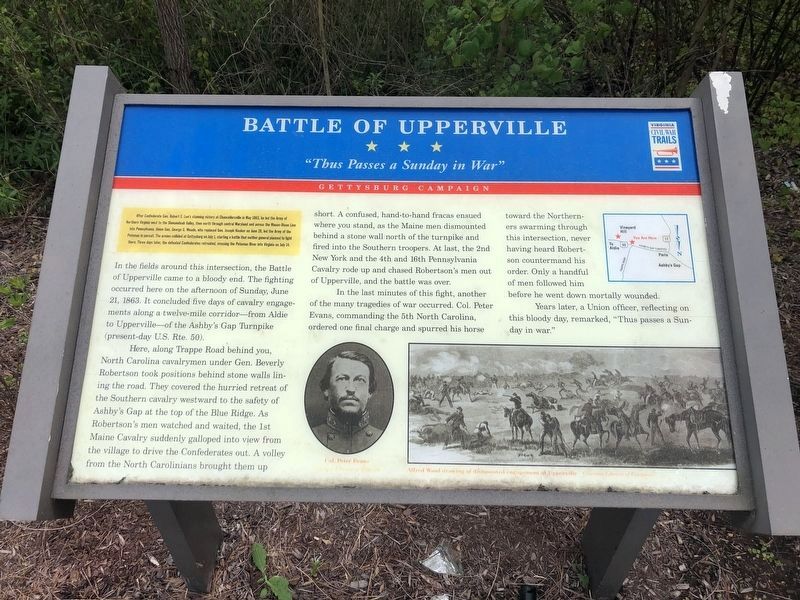
After Confederate Gen. Robert E. Lee's stunning victory at Chancellorsville in May 1863, he led the Army of Northern Virginia west to the Shenandoah Valley, then north through central Maryland and across the Mason-Dixon Line into Pennsylvania. Union Gen. George G. Meade, who replaced Gen. Joseph Hooker on June 28, led the Army of the Potomac in pursuit. The armies collided at Gettysburg on July 1, starting a battle that neither general planned to fight there. Three days later, the defeated Confederates retreated, crossing the Potomac River into Virginia on July 14.
In the fields around this intersection, the Battle of Upperville came to a bloody end. The fighting occurred here on the afternoon of Sunday, June 21, 1863. It concluded five days of cavalry engagements along a twelve-mile corridor - from Aldie to Upperville - of the Ashby's Gap Turnpike (present-day U.S. Rte. 50).
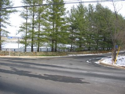
Here, along Trappe Road behind you, North Carolina cavalrymen under Gen. Beverly Robertson took positions behind stone walls lining the road. They covered the hurried retreat of the Southern cavalry westward to the safety of Ashby's Gap at the top of the Blue Ridge. As Robertson's men watched and waited, the 1st Maine Cavalry suddenly galloped into view from the village to drive the Confederates out. A volley from the North Carolinians brought them up short. A confused, hand-to-hand fracas ensued where you stand, as the Maine men dismounted behind a stone wall north of the turnpike and fired into the Southern troops. At last, the 2nd New York and the 4th and 16th Pennsylvania Cavalry rode up and chased Robertson's men out of Upperville, and the battle was over.
In the last minutes of this fight, another of the many tragedies of war occurred. Col. Peter Evans, commanding the 5th North Carolina, ordered one final charge and spurred his horse toward Northerners swarming through this intersection, never having heard Robertson countermand his order. Only a handful of his men followed him before he went down mortally wounded.
Years later, a Union officer, reflecting on this bloody day, remarked, "Thus passes a Sunday in war."
Erected 2008 by Virginia Civil War Trails.
Topics and series. This historical marker is listed in this topic list: War, US Civil. In addition, it is included in the Virginia Civil War Trails series list. A significant historical month for this entry is May 1863.
Location. 38° 59.756′ N, 77° 53.471′ W. Marker is in Upperville, Virginia, in Fauquier County. Marker is at the intersection of John Mosby Highway (U.S. 50) and Hill Road / Trappe Road (County Route 619), on the right when traveling east on
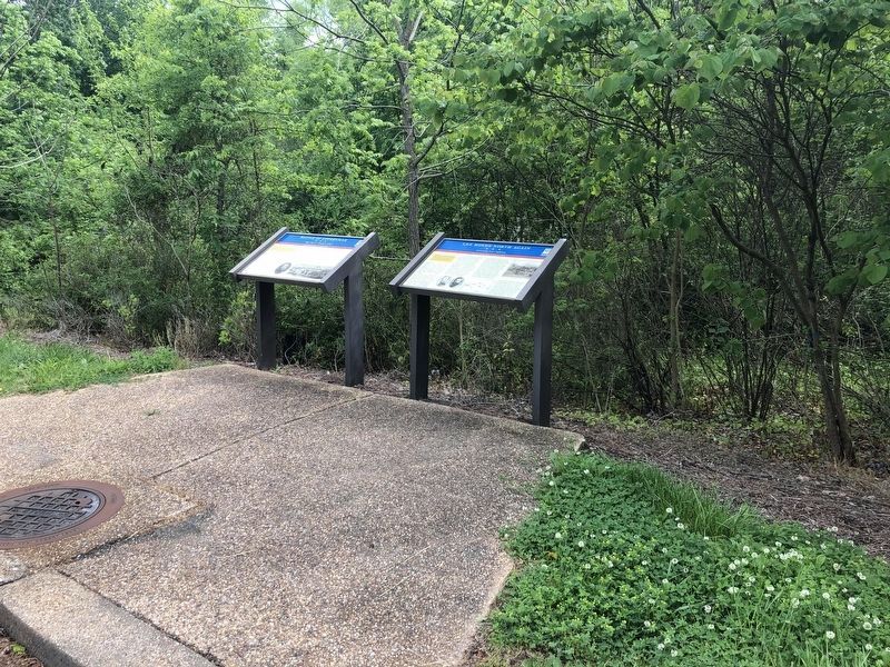
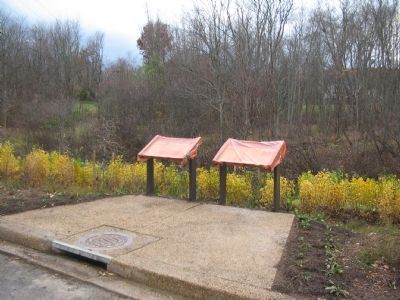
Other nearby markers. At least 8 other markers are within one mile of this marker, measured as the crow flies. Lee Moves North Again (here, next to this marker); Mary Elizabeth Conover Mellon (approx. half a mile away); This Stone (approx. half a mile away); The Upperville Library (approx. 0.6 miles away); The Armistead House (approx. 0.6 miles away); The Gibson House (approx. 0.7 miles away); The Smith House (approx. 0.8 miles away); a different marker also named Battle of Upperville (approx. one mile away). Touch for a list and map of all markers in Upperville.
More about this marker. The marker displays a portrait of Col. Evans in the lower center next to an Alfred Waud drawing of a dismounted cavalry engagement. On the upper right is a map depicting the action described in the text.
Credits. This page was last revised on May 29, 2020. It was originally submitted on November 27, 2007, by Craig Swain of Leesburg, Virginia. This page has been viewed 2,997 times since then and 45 times this year. Photos: 1, 2. submitted on May 29, 2020, by Devry Becker Jones of Washington, District of Columbia. 3, 4. submitted on January 19, 2008, by Craig Swain of Leesburg, Virginia. 5. submitted on November 27, 2007, by Craig Swain of Leesburg, Virginia.


