Near Garfield in Benton County, Arkansas — The American South (West South Central)
Two Armies Collide
Pea Ridge National Military Park
— National Park Service, U.S. Department of the Interior —
Inscription.
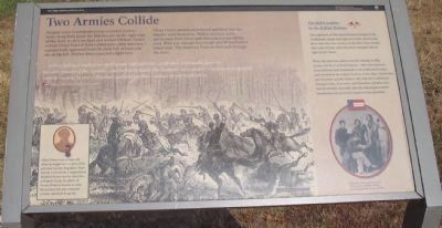
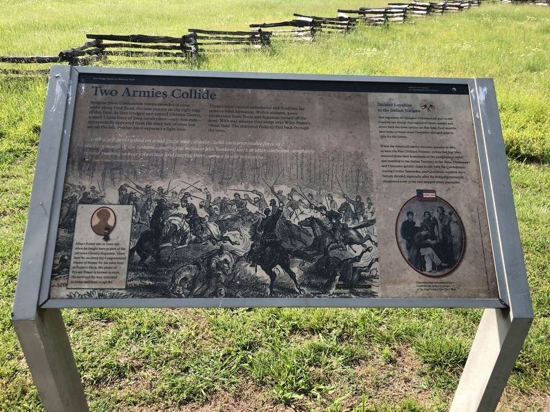
Imagine 7,000 Confederate troops crowded in close order along Ford Road, the lane you see on the right edge of this field. As they trudged east toward Elkhorn Tavern, a small Union force of Iowa cavalrymen - only 600 men - unexpectedly appeared from the thick belt of trees you see on the left. Neither force expected to fight here.
Three Union cannon unlimbered and fired into the massive rebel formation. Within minutes, 3,000 cavalrymen from Texas and Arkansas turned off the road. With war whoops they swept over Wiley Foster's wheat field. The shattered Federals fled back through the trees.
...with a yell [we] rushed on amid grape and canister... with such irresistible force to the very mouth of the cannon...and in five minutes [the Yankees] were in utter confusion completely routed running in every direction and leaving their cannon in our possession.
James C. Bates, lieutenant, 9th Texas Cavalry, Company H
Albert Power was 19 years old when he fought here as part of the 3rd Iowa Cavalry Regiment. Years later he received the Congressional Medal of Honor for his valor here at Foster's Farm. No photo of him is known to exist. He survived the war, returned to Iowa, and lived to age 80.
Divided Loyalties in the Indian Nations
Two regiments of Cherokee riflemen took part in the Confederate charge that captured Union cannon and drove back the Iowa cavalry on this field. Four months later some of these same Cherokee changed sides to fight for the Union.
When the American nation was torn asunder in 1861, so were the Five Civilized Nations - tribes that had been removed from their homelands in the southeastern states and resettled in the Indian Territory in the 1830s. Chickasaws and Choctaws quickly chose to ally with the Confederacy. Among Creeks, Seminoles, and Cherokees, loyalties were fiercely divided, especially after the federal government abandoned army posts and stopped treaty payments.
Erected by National Park Service, U.S. Department of the Interior.
Topics. This historical marker is listed in these topic lists: Native Americans • War, US Civil. A significant historical year for this entry is 1861.
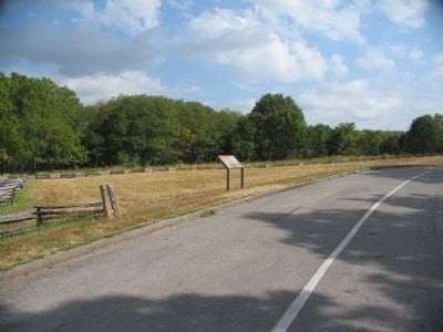
Location. 36° 27.231′ N, 94° 3.021′ W. Marker is near Garfield, Arkansas, in Benton County. Marker is on Military Park Road (County Road 65), on the left when traveling north. Located at stop five on the driving tour of Pea Ridge National Military Park. Touch for map. Marker is in this post office area: Garfield AR 72732, United States of America. Touch for directions.
Other nearby markers. At least 8 other markers are within 2 miles of this marker, measured as the crow flies. A Long, Cold Hungry March (approx. 0.6 miles away); Save the Cannon! (approx. 0.6 miles away); A Crisis in Command (approx. 0.6 miles away); Stand to Your Posts! (approx. 0.6 miles away); A Fierce Tangle in Morgan's Woods (approx. 0.7 miles away); A Village Full of Wounded Men (approx. 0.9 miles away); Leetown (approx. 0.9 miles away); City of Soldiers (approx. 1.3 miles away). Touch for a list and map of all markers in Garfield.
Also see . . .
1. Pea Ridge National Military Park. Narional Park Service website entry (Submitted on September 11, 2010, by Craig Swain of Leesburg, Virginia.)
2. The Battle of Pea Ridge. American Battlefield Trust website entry (Submitted on April 30, 2021, by Larry Gertner of New York, New York.)
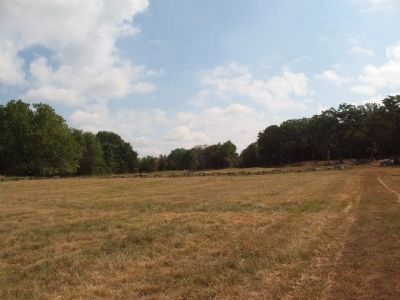
Photographed By Craig Swain, August 30, 2010
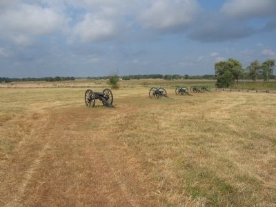
4. Sturdy Farm Site and Ford Road
Looking northeast from the middle of the field in front of the marker, called Foster's Fields. To the right is the tour stop and the marker location. The gap in the trees, just right of center is the park tour road. In that area stood the Sturdy Farm along the Ford (Farm) Road. McCulloch's Confederates used the road on the morning of March 7, 1862.
Credits. This page was last revised on March 3, 2024. It was originally submitted on September 11, 2010, by Craig Swain of Leesburg, Virginia. This page has been viewed 3,236 times since then and 1,902 times this year. Last updated on November 10, 2010, by Mark Wm Johnson of Harpers Ferry, West Virginia. Photos: 1. submitted on September 11, 2010, by Craig Swain of Leesburg, Virginia. 2. submitted on June 4, 2023, by Duane and Tracy Marsteller of Murfreesboro, Tennessee. 3, 4, 5. submitted on September 11, 2010, by Craig Swain of Leesburg, Virginia.
