Bowie in Cochise County, Arizona — The American Mountains (Southwest)
Fort Bowie
National Historic Site
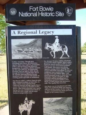
The Bascom Affair, a military fiasco in early 1861, escalated hostilities on both sides. In 1862, a Union Army regiment from California marched through Apache Pass to counter the Confederate invasions of New Mexico. After being ambushed near Apache Spring, the army established Fort Bowie to protect the water supply and the major southern transportation route.
For the next 24 years, soldiers relentlessly pursued the elusive Apache. With Cochise's death (by natural causes) in 1874 any hope of peace was lost. Government promises were broken. Discontent rose among Apaches, causing violent uprisings and escapes from bleak reservations. It took two competent army commanders—General George Crook and Nelson Miles—and several thousand troops to obtain the final Chiricahuas Apache surrender in 1886. Geronimo and his dwindling band of Chiricahuas marched in defeat to Fort Bowie, on their journey into permanent exile. The Apache Wars were over.
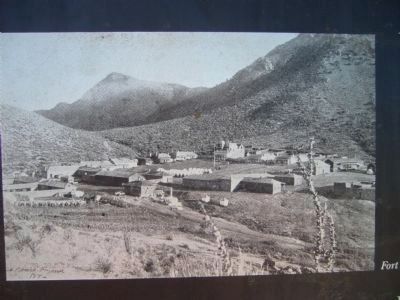
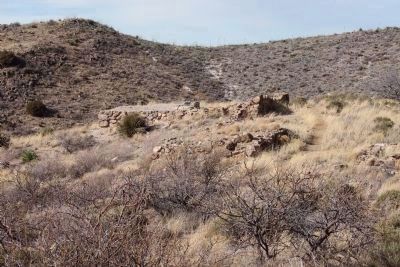
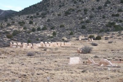
Fort Bowie was not abandoned until 1894. Today the weathered adobe and masonry walls are all that remain, the last vestige of an often romanticized but always precarious chapter in our country's history.
Erected by National Park Service.
Topics. This historical marker is listed in these topic lists: Native Americans • War, US Civil • Wars, US Indian. A significant historical year for this entry is 1858.
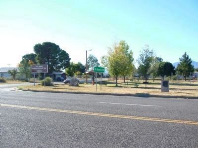
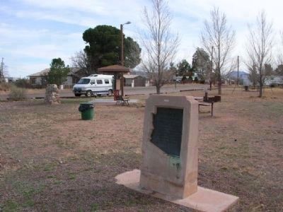
Location. 32° 19.526′ N, 109° 29.062′ W. Marker is in Bowie, Arizona, in Cochise County. Marker is at the intersection of South Apache Pass Road and Interstate 10 on South Apache Pass Road. Touch for map. Marker is in this post office area: Bowie AZ 85605, United States of America. Touch for directions.
Other nearby markers. At least 8 other markers are within 13 miles of this marker, measured as the crow flies. Old Fort Bowie (a few steps from this marker); Centennial of Chiricahua Apache/U.S. Cessation of Hostilities 1886 (approx. 0.3 miles away); Apache Pass - A Corridor Through Time (approx. 11.8 miles away); Mining Cabin (approx. 11.9 miles away); Apache Pass (approx. 12 miles away); Parke Camp Site (approx. 12.2 miles away); The Bascom Affair (approx. 12.3 miles away); Bascom-Cochise Meeting Site (approx. 12.4 miles away). Touch for a list and map of all markers in Bowie.
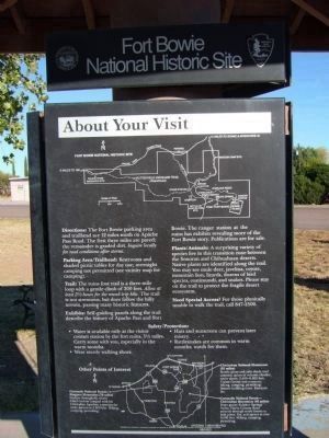
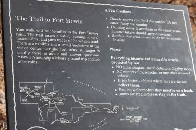
Regarding Fort Bowie. It's an approximate 1 1/2 mile hike to the Fort Bowie and Butterfield Stage Station ruins.
Also see . . .
1. Fort Bowie National Historic Site. National Park Service website entry (Submitted on April 3, 2024, by Larry Gertner of New York, New York.)
2. Battle of Apache Pass, Arizona. Legends of America website entry:
In February 1861, Lieutenant George Bascom faced Cochise in a dramatic confrontation that touched off a quarter-century of bloody hostilities between the Chiricahua and white invaders, and a personal ten-year war between Cochise and the U.S. Army. This event is now known as the Bascom Affair. (Submitted on April 3, 2024, by Larry Gertner of New York, New York.)
Additional commentary.
1. Fort Bowie National Historic Site
Located south of the Fort Bowie Marker on Apache Pass Road. There is ample parking at the trail head to Ft. Bowie. Visit the NPS web site for Ft. Bowie prior to visiting. There is important information regarding
access to the site.
— Submitted April 18, 2011, by James Nuti of Bisbee, Arizona.
Credits. This page was last revised on April 3, 2024. It was originally submitted on November 10, 2010, by Bill Kirchner of Tucson, Arizona. This page has been viewed 1,679 times since then and 28 times this year. Photos: 1, 2. submitted on November 9, 2010, by Bill Kirchner of Tucson, Arizona. 3. submitted on April 10, 2008, by Julie Szabo of Oldsmar, Florida. 4. submitted on November 9, 2010, by Bill Kirchner of Tucson, Arizona. 5, 6. submitted on April 18, 2011, by James Nuti of Bisbee, Arizona. 7. submitted on November 9, 2010, by Bill Kirchner of Tucson, Arizona. 8. submitted on April 18, 2011, by James Nuti of Bisbee, Arizona. • Syd Whittle was the editor who published this page.
