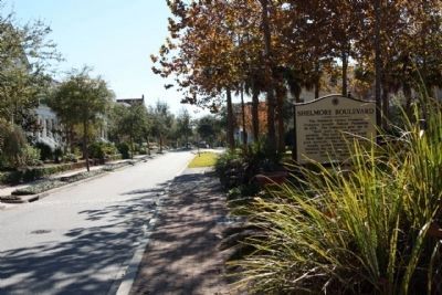
Shipyard Road / Shelmore Boulevard
Shipyard Road
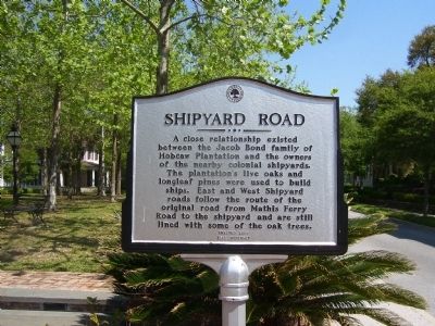
A close relationship existed between the Jacob Bond family of Hobcaw Plantation and the owners of the nearby colonial shipyards. The plantation’s live oaks and longleaf pines were used to build ships. East and West Shipyard roads follow the route of the original road from Mathis Ferry Road to the shipyard and are still lined with some of the oak trees.
Shelmore Boulevard
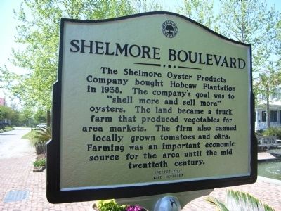
The Shelmore Oyster Products Company bought Hobcaw Plantation in 1938. The company's goal was to "shell more and sell more" oysters. The land became a truck farm that produced vegetables for area markets. The firm also canned locally grown tomatoes and okra. Farming was an important economic source for the area until the mid twentieth century.
Erected 2007 by Town of Mount Pleasant.
Topics. This historical marker is listed in these topic lists: Agriculture • Industry & Commerce. A significant historical year for this entry is 1938.
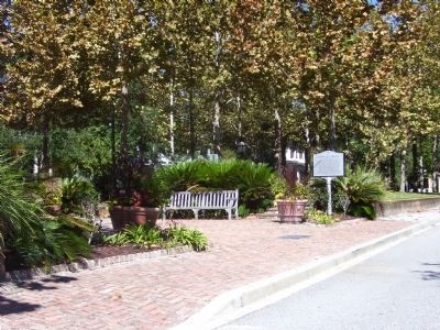
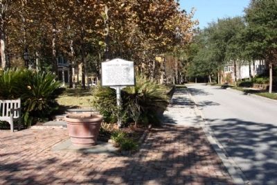
Location. 32° 49.113′ N, 79° 52.826′ W. Marker is in Mount Pleasant, South Carolina, in Charleston County. Marker is on North Shelmore Blvd. near Sanibel Street. Touch for map. Marker is in this post office area: Mount Pleasant SC 29464, United States of America. Touch for directions.
Other nearby markers. At least 8 other markers are within 2 miles of this marker, measured as the crow flies. Maybank Green / Hobcaw Plantation (about 700 feet away, measured in a
Credits. This page was last revised on June 16, 2016. It was originally submitted on November 11, 2010. This page has been viewed 505 times since then and 19 times this year. Photos: 1, 2, 3. submitted on November 11, 2010. 4, 5. submitted on November 14, 2010, by Mike Stroud of Bluffton, South Carolina. • Bill Pfingsten was the editor who published this page.
