Rexford in Saratoga County, New York — The American Northeast (Mid-Atlantic)
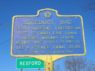
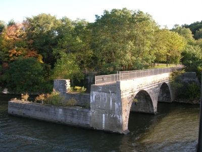
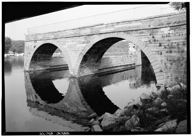
Aqueduct, 1842
Second aqueduct erected on
site to carry Erie Canal
across Mohawk River.
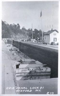
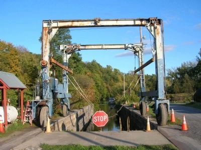
Nearby are Locks 21 & 22
and a former canal store.
Erected by Clifton Park Bicentennial Commission.
Topics and series. This historical marker is listed in these topic lists: Bridges & Viaducts • Man-Made Features • Waterways & Vessels. In addition, it is included in the Erie Canal series list. A significant historical year for this entry is 1842.
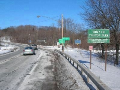
Location. 42° 51.097′ N, 73° 53.251′ W. Marker is in Rexford, New York, in Saratoga County. Marker is on Balltown Road (New York State Route 146), on the right when traveling north. The marker is on the right as you enter the Town of Clifton Park after crossing the bridge over the Mohawk River. Touch for map. Marker is in this post office area: Rexford NY 12148, United States of America. Touch for directions.
Other nearby markers. At least 8 other markers are within 2 miles of this marker, measured as the crow flies. The Historic Rexford Aqueduct (approx. 0.2 miles away); Rexford Cemetery (approx. 0.3 miles away); Rexford House (approx. 0.3 miles away); Alplaus (approx. 0.7 miles away); Southard House (approx. 0.9 miles away); Country Club Acres, 1957 (approx. one mile away); Family Cemetery (approx. 1.1 miles away); Yates Farm (approx. 1.1 miles away). Touch for a list and map of all markers in Rexford.
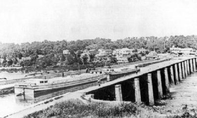
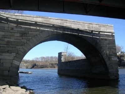
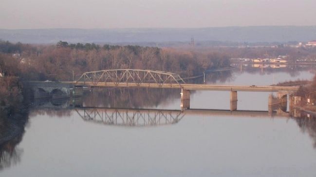
Regarding Aqueduct, 1842. The Rexford Aqueduct was built to carry the Erie Canal across the Mohawk River in 1842. It was built as part of the enlargement of the Erie Canal and replaced the smaller original Rexford Aqueduct. After the 1842 Rexford aqueduct was build just a few yards east of and down stream of the original aqueduct. The piers of the original aqueduct became the base of a toll bridge across the river. When the current canal system, The Barge Canal System as it was called in 1916, was put in place most of the aqueduct was disassembled to allow navigation in the canalized Mohawk River, yet the state retained portions of the aqueduct for use as the base of a highway bridge across the river. In 1964 the state widened the roadway which is NY Route 146. The Rt. 146 bridge that is there now was designed by the New York State Department of Public Works and opened in 1965. When they built the new bridge, just upstream of the aqueduct, they removed some of the arches of the aqueduct, thus widening the navigable channel.
Also see . . .
1. The Rexford Aqueduct. Erie Canal website entry (Submitted on November 11, 2010, by Howard C. Ohlhous of Duanesburg, New York.)
2. Erie Canal (Enlarged), Upper Mohawk River Aqueduct, Mohawk River, State Route 146, Rexford, Saratoga. Library of Congress website entry (Submitted on November 11, 2010, by Howard C. Ohlhous of Duanesburg, New York.)
Photographed By Howard C. Ohlhous, January 4, 2009
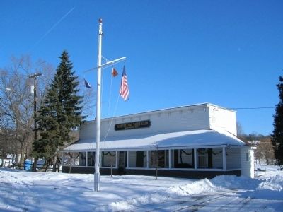
9. Former Canal Store
The Schenectady Yacht Club building is the former Canal Store nearby. Mickey Travis' canal store was a restaurant, store and saloon because drinks of all kinds were available. It was also a feed store where canawlers could stock up on hay and oats for their mules and horses. And it was a livery where the animals could be temporarily boarded should they develop harness burn, fatigue or simply become an excess for that particular trip. The Yacht Club bought the old Travis building in 1956, after it had been used as a tavern called Cartwright's Grill, much in the Travis tradition. At the time, stalls that had once been used for the canal animals were still in the basement. Straw was still on the floor. The first thing the club did was clear out the cellar, cement the walls and install a concrete floor.
Photographed By Howard C. Ohlhous
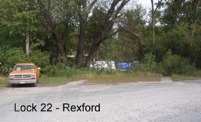
12. Old Eric Canal Lock 22 Remains
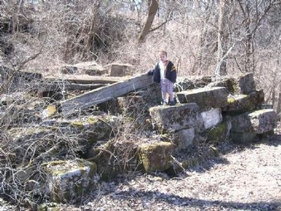
Lock 22 was right in front of the the Travis Feed Store, which is now the Schenectady Yacht Club. The lock has been filled in, yet the top stones of the lock are visible at the edge of the parking area, and appear as two narrow paths leading off into the weeds.
Credits. This page was last revised on December 10, 2021. It was originally submitted on November 11, 2010, by Howard C. Ohlhous of Duanesburg, New York. This page has been viewed 1,414 times since then and 79 times this year. Photos: 1, 2, 3, 4, 5, 6, 7, 8, 9, 10, 11, 12, 13. submitted on November 11, 2010, by Howard C. Ohlhous of Duanesburg, New York. • Bill Pfingsten was the editor who published this page.
