Kinderhook in Columbia County, New York — The American Northeast (Mid-Atlantic)
An Agrarian Lifestyle…
Martin Van Buren Nat’l Hist Site
— National Park Service —
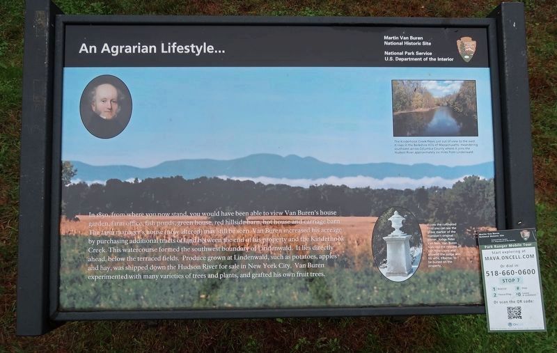
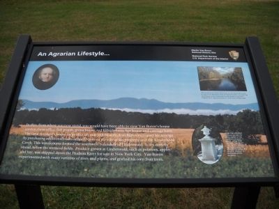
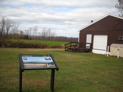
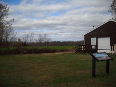
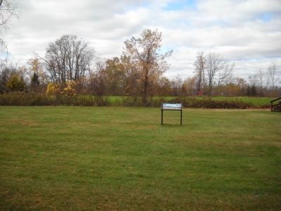
In 1850, from where you now stand, you would have been able to view Van Buren’s house garden, farm office, fish ponds, green house, red hillside barn, hot house and carriage barn. The farm manager’s house (now altered) may still be seen. Van Buren increased his acreage by purchasing additional tracts of land between the end of his property and the Kinderhook Creek. This watercourse formed the southwest boundary of Lindenwald. It lies directly ahead, below the terraced fields. Produce grown at Lindenwald, such as potatoes, apples and hay, was shipped down the Hudson River for sale in New York City. Van Buren experimented with many varieties of trees and plants, and grafted his own fruit trees.
Erected by National Park Service, U.S. Department of the Interior.
Topics and series. This historical marker is listed in this topic list: Agriculture. In addition, it is included in the Former U.S. Presidents: #08 Martin Van Buren series list. A significant historical year for this entry is 1850.
Location. 42° 22.189′ N, 73° 42.3′ W. Marker is in Kinderhook, New York, in Columbia County. Marker is on Old Post Road, on the right when traveling south. Marker is on the grounds of the Martin Van Buren National Historic Site. Touch for map. Marker is in this post office area: Kinderhook NY 12106, United States of America. Touch for directions.
Other nearby markers. At least 8 other markers are within walking distance of this marker. Farm Operations (within shouting distance of this marker); Fallen White Mulberry Tree (within shouting distance of this marker); Marble Mounting Block (about 300 feet away, measured in a direct line); A Bustling Household (about 300 feet away); Fertile Political Ground (about 400 feet away); 1849-50 A House Transformed (about 400 feet away); Soil Improvers (about 400 feet away); Lindenwald (about 500 feet away). Touch for a list and map of all markers in Kinderhook.
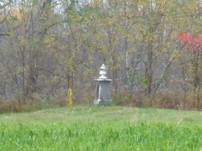
More about this marker. The background of the marker features a photo of the fields visible from the marker. A portrait of Martin Van Buren appears at the upper left of the marker. The upper right contains a photo of “The Kinderhook Creek [which] flows just out of view to the west. It rises in the Berkshire Hills of Massachusetts, meandering southwest across Columbia County where it joins the Hudson River approximately six miles from Lindenwald.” Below this is a picture of a monument with the caption “Across the cultivated field you can see the grave marker of the mansion’s original owner, Judge Peter Van Ness. Van Buren honored the request of Van Ness’s sons and allowed the Judge and his wife, Elbertie, to be buried on the property.”
Also see . . .
1. Biography of Martin Van Buren. The White House website entry (Submitted on November 11, 2010, by Bill Coughlin of Woodland Park, New Jersey.)
2. Martin Van Buren National Historic Site. National Park Service website homepage (Submitted on November 11, 2010, by Bill Coughlin of Woodland Park, New Jersey.)
3. Van Buren, Martin, National Historic Site - National Park Service. Download National Register of Historic Places documentation (Submitted on January 17, 2024, by Anton Schwarzmueller of Wilson, New York.)
Credits. This page was last revised on January 17, 2024. It was originally submitted on November 11, 2010, by Bill Coughlin of Woodland Park, New Jersey. This page has been viewed 986 times since then and 18 times this year. Photos: 1. submitted on October 12, 2021, by Duane and Tracy Marsteller of Murfreesboro, Tennessee. 2, 3, 4, 5, 6. submitted on November 11, 2010, by Bill Coughlin of Woodland Park, New Jersey.
