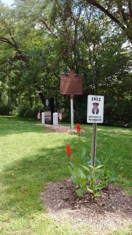
Near Independence in Defiance County, Ohio — The American Midwest (Great Lakes)
Winchester's Camp No. 3/Fort Starvation / The Old Kentucky Burial Grounds
Inscription.
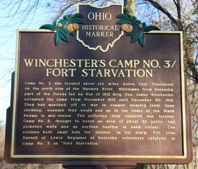
[Front Text] : "Winchester's Camp No. 3/Fort Starvation"
Camp No. 3 was located about six miles below Fort Winchester on the north side of the Maumee River. Militiamen from Kentucky, part of the forces led by War of 1812 Brig. Gen. James Winchester, occupied the camp from November 1812 until December 30, 1812. They had marched off to war in summer wearing their linen clothing; unaware they would end up in the heart of the Black Swamp in mid-winter. The suffering they endured was intense. Camp No. 3, thought to cover an area of about 40 acres, had picketed walls and an earthen bastion at each corner. The soldiers built small huts for shelter. In his diary, Pvt. Elias Darnell of Lewis' Regiment of Kentucky volunteers referred to Camp No. 3 as "Fort Starvation."
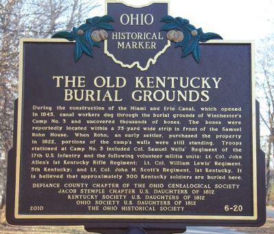
[Back Text] : "The Old Kentucky Burial Grounds"
During the construction of the Miami and Erie Canal, which opened in 1845, canal workers dug through the burial grounds of Winchester's Camp No. 3 and uncovered thousands of bones. The bones were reportedly located within a 75-yard wide strip in front of the Samuel Rohn House. When Rohn, an early settler, purchased the property in 1822, portions of the camp's walls were still standing. Troops stationed at Camp No. 3 included Col. Samuel Wells' Regiment of the 17th U.S. Infantry and the following volunteer militia units: Lt. Col. John Allen's 1st Kentucky Rifle Regiment; Lt. Col. William Lewis' Regiment, 5th Kentucky; and Lt. Col. John M. Scott's Regiment, 1st Kentucky. It is believed that approximately 300 Kentucky soldiers are buried here.
Erected 2010 by Definace County Chapter of the Ohio Genealogical Society, Jacob Stemple Chapter U.S. Daughters of 1812, Kentucky Society U.S. Daughters of 1812, Ohio Society U.S. Daughters of 1812, The Ohio Historical Society. (Marker Number 6-20.)
Topics and series. This historical marker is listed in these topic lists: Forts and Castles • War of 1812. In addition, it is included in the Ohio Historical Society / The Ohio History Connection, and the United States Daughters of 1812, National Society series lists. A significant historical month for this entry is November 1812.
Location. 41° 17.521′ N, 84° 15.758′ W. Marker is near Independence, Ohio, in Defiance County. Marker is on Ohio Route 424, 1.1 miles east of Indepedence Road (County Route 185), on the right when traveling east. This historical marker is located in Independence Dam State Park, very near the Maumee River, on the park roadway, approximately 1.1 miles east of the park entrance (off of State Route 424). Touch for map. Marker is in this post office area: Defiance OH 43512, United States of America. Touch for directions.
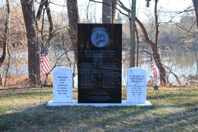
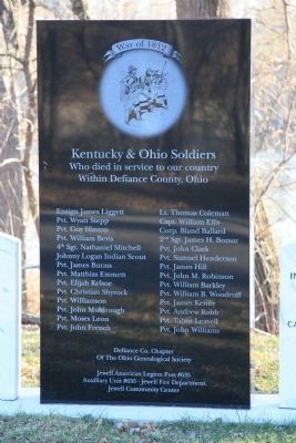
Other nearby markers. At least 8 other markers are within 4 miles of this marker, measured as the crow flies. Kentucky & Ohio Soldiers Memorial (here, next to this marker); Fort Starvation (here, next to this marker); 70 Vet Survivors of C.C.C. Memorial (approx. 0.8 miles away); You Are On The Buckeye Trail (approx. 0.8 miles away); Lock No. 13 & Independence Dam / Two Canals (approx. 1.1 miles away); Two Canals (approx. 1.1 miles away); Site of Lock No. 13 (approx. 1.1 miles away); Site Of Mamie - Bessie Nagel Farm (approx. 3.2 miles away). Touch for a list and map of all markers in Independence.
Photographed By Dale K. Benington, November 12, 2010
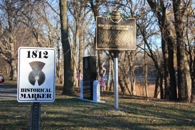
3. Winchester's Camp No. 3/Fort Starvation / The Old Kentucky Burial Grounds Marker
View looking east of historical marker with road marker sign in left foreground and soldiers memorial stone along with two gravestones in the background. In the distant background is the Maumee River.
Photographed By Dale K. Benington, November 12, 2010
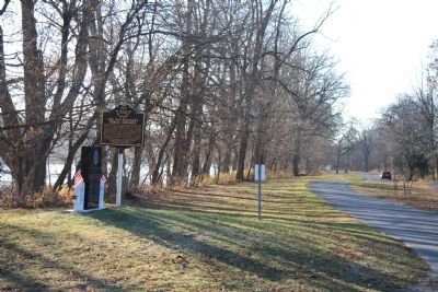
6. Winchester's Camp No. 3/Fort Starvation / The Old Kentucky Burial Grounds Marker
View looking west along the park roadway, with the historical marker in the left foreground and the Maumee River just beyond the historical marker on the left hand side of the picture.
Photographed By Dale K. Benington, November 12, 2010
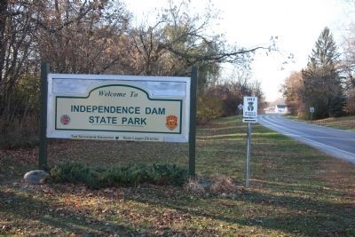
7. Winchester's Camp No. 3/Fort Starvation / The Old Kentucky Burial Grounds Marker
View of the Independence Dam State Park sign that is located at the entrance to the park, just off of State Route 242. The historical marker is 1.1 miles beyond the entrance.
Credits. This page was last revised on August 27, 2018. It was originally submitted on November 13, 2010, by Dale K. Benington of Toledo, Ohio. This page has been viewed 1,706 times since then and 21 times this year. Photos: 1, 2, 3, 4. submitted on November 14, 2010, by Dale K. Benington of Toledo, Ohio. 5, 6, 7. submitted on November 15, 2010, by Dale K. Benington of Toledo, Ohio. 8. submitted on August 24, 2018, by Tom Bosse of Jefferson City, Tennessee.
